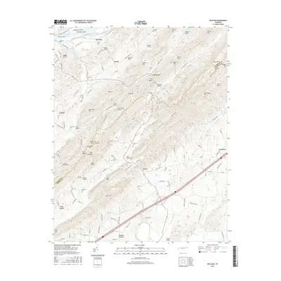
2016 Map of McCloud
USGS Topo · Published 2016About this map
Bays Mountain and Cove Mountain dominate the topography of this corner of East Tennessee, where the ridgeline terrain of the Appalachians meets the winding waters of Cherokee Lake. The 2016 survey illustrates a landscape of deeply folded valleys including Webster Valley and Butcher Valley, which have historically dictated the placement of small rural communities like McCloud, Strahl, and Romeo. Local genealogy is well-represented through numerous family-named burial sites such as Patterson Cemetery, Brotherton Cemetery, and Everhart Cemetery. The map also captures the significance of water and low-lying landforms along the Holston River basin, including McKinneys Islands and McKinneys Shoals near Arnotts Island. The concentration of named hollows, from Copp Hollow to Heck Hollow, reflects a long-standing pattern of mountain settlement that persists alongside modern infrastructure like the four-lane Old Highway 66.
Find a feature on this map
132 named features on this map. Tap any name to fly to it.
Don’t see what you’re looking for? This feature index may not catch every label — zoom into the map to look around manually.
Map Details
Editions of this 2016 McCloud Map
This is the sole edition of this map. No revisions or reprints were ever made.
Other maps of this area

1883 · Morristown
USGS Topo · 1:125,000

1892 · Greeneville
USGS Topo · 1:125,000

1893 · Morristown
USGS Topo · 1:125,000

1895 · Morristown
USGS Topo · 1:125,000

1896 · Greeneville
USGS Topo · 1:125,000

1904 · Greeneville
USGS Topo · 1:125,000

1935 · Surgoinsville
USGS Topo · 1:48,000

1935 · Baileyton
USGS Topo · 1:24,000

1935 · Rogersville
USGS Topo · 1:48,000

1935 · McCloud
USGS Topo · 1:24,000