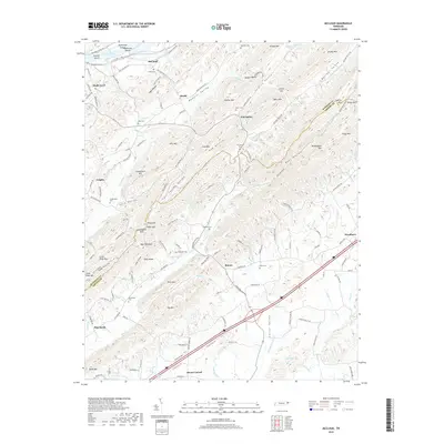
2019 Map of McCloud
USGS Topo · Published 2019About this map
Bays Mountain and Dodson Mtn dominate the landscape of the Tennessee hill country where Hawkins and Greene counties meet. Small communities such as Romeo, Grigsby, and Mount Carmel are connected by a network of rural roads that thread through narrow valleys like Butcher Valley and Webster Valley. The map reveals a high concentration of family-named cemeteries including Everhart Cem, Patterson Cem, and Brotherton Cem, reflecting the deep ancestral roots of these highland settlements. The northern boundary is defined by the waters of Cherokee Lake, where Mckinneys Shoals and Arnotts Island mark the riverine heritage of the region. This 2019 survey documents a landscape where agricultural heritage persists alongside more modern developments like Malone Lake and the residential clusters near Woodlawn.
Find a feature on this map
147 named features on this map. Tap any name to fly to it.
Don’t see what you’re looking for? This feature index may not catch every label — zoom into the map to look around manually.
Map Details
Editions of this 2019 McCloud Map
This is the sole edition of this map. No revisions or reprints were ever made.
Other maps of this area

1883 · Morristown
USGS Topo · 1:125,000

1892 · Greeneville
USGS Topo · 1:125,000

1893 · Morristown
USGS Topo · 1:125,000

1895 · Morristown
USGS Topo · 1:125,000

1896 · Greeneville
USGS Topo · 1:125,000

1904 · Greeneville
USGS Topo · 1:125,000

1935 · Surgoinsville
USGS Topo · 1:48,000

1935 · Baileyton
USGS Topo · 1:24,000

1935 · Rogersville
USGS Topo · 1:48,000

1935 · McCloud
USGS Topo · 1:24,000