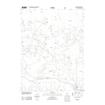
2012 Map of McCloud
USGS Topo · Published 2012About this map
The southern slopes of Mount Shasta define this 2012 survey, where recreational development and water resources converge near the town of McCloud. High-elevation landmarks like Shasta Alpine Lodge and the Panther Meadows Campground mark the upper reaches of the landscape, while the lower elevations are home to the Mount Shasta Ski Park Resort. The complex hydrology of the region is evident through numerous named water sources, including McGinnis Springs, Bear Spring, and Hooper Spring, which feed into the rugged drainage systems of Panther Cr and Squaw Valley Cr.
Find a feature on this map
45 named features on this map. Tap any name to fly to it.
Don’t see what you’re looking for? This feature index may not catch every label — zoom into the map to look around manually.
Map Details
Editions of this 2012 McCloud Map
This is the sole edition of this map. No revisions or reprints were ever made.
Other maps of this area

1886 · Shasta
USGS Topo · 1:250,000

1894 · Shasta
USGS Topo · 1:250,000

1935 · Dunsmuir
USGS Topo · 1:125,000

1948 · Weed
USGS Topo · 1:250,000

1950 · Weed
USGS Topo · 1:250,000

1954 · Shoeinhorse Mountain
USGS Topo · 1:62,500

1954 · Shasta
USGS Topo · 1:62,500

1954 · Weed
USGS Topo · 1:62,500

1954 · Dunsmuir
USGS Topo · 1:62,500

1958 · Weed
USGS Topo · 1:250,000