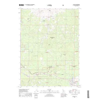
2018 Map of McCloud
USGS Topo · Published 2018About this map
The town of McCloud serves as the gateway to the southern slopes of the Cascades, where the terrain rises sharply from the residential streets toward Green Butte and Sargents Ridge. This landscape is defined by its volcanic geology and alpine meadows, most notably Panther Meadow and the open stretches of Sand Flat. The transport network reveals the area's transition from a mill town to an alpine recreation hub, with Mount Shasta Blvd and the McCloud Dunsmuir Cutoff providing access through the Shasta National Forest.
Find a feature on this map
49 named features on this map. Tap any name to fly to it.
Don’t see what you’re looking for? This feature index may not catch every label — zoom into the map to look around manually.
Map Details
Editions of this 2018 McCloud Map
This is the sole edition of this map. No revisions or reprints were ever made.
Other maps of this area

1886 · Shasta
USGS Topo · 1:250,000

1894 · Shasta
USGS Topo · 1:250,000

1935 · Dunsmuir
USGS Topo · 1:125,000

1948 · Weed
USGS Topo · 1:250,000

1950 · Weed
USGS Topo · 1:250,000

1954 · Shoeinhorse Mountain
USGS Topo · 1:62,500

1954 · Shasta
USGS Topo · 1:62,500

1954 · Weed
USGS Topo · 1:62,500

1954 · Dunsmuir
USGS Topo · 1:62,500

1958 · Weed
USGS Topo · 1:250,000