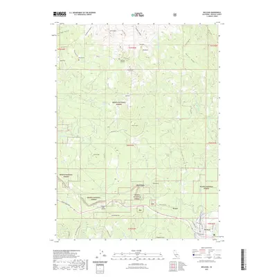
2022 Map of McCloud
USGS Topo · Published 2022About this map
McCloud anchors the southeastern corner of this map, revealing a detailed street grid including W Colombero Dr, Tucci Ave, and Shasta Ave. This 2022 survey captures the transition from the developed townsite into the protected lands of the Shasta National Forest. The geography is defined by high-elevation features like Snowmans Hill Summit and the distinctive McKenzie Butte, with a network of forest roads and trails such as the Gray Butte Trl and McKenzie Trl providing access to the higher ridges.
Find a feature on this map
58 named features on this map. Tap any name to fly to it.
Don’t see what you’re looking for? This feature index may not catch every label — zoom into the map to look around manually.
Map Details
Editions of this 2022 McCloud Map
This is the sole edition of this map. No revisions or reprints were ever made.
Other maps of this area

1886 · Shasta
USGS Topo · 1:250,000

1894 · Shasta
USGS Topo · 1:250,000

1935 · Dunsmuir
USGS Topo · 1:125,000

1948 · Weed
USGS Topo · 1:250,000

1950 · Weed
USGS Topo · 1:250,000

1954 · Shoeinhorse Mountain
USGS Topo · 1:62,500

1954 · Shasta
USGS Topo · 1:62,500

1954 · Weed
USGS Topo · 1:62,500

1954 · Dunsmuir
USGS Topo · 1:62,500

1958 · Weed
USGS Topo · 1:250,000