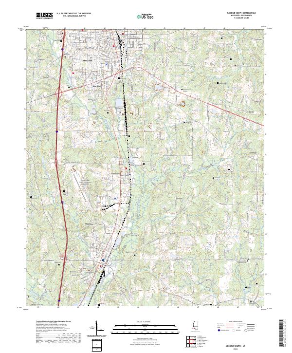
2024 Map of McComb South
USGS Topo · Published 2024About this map
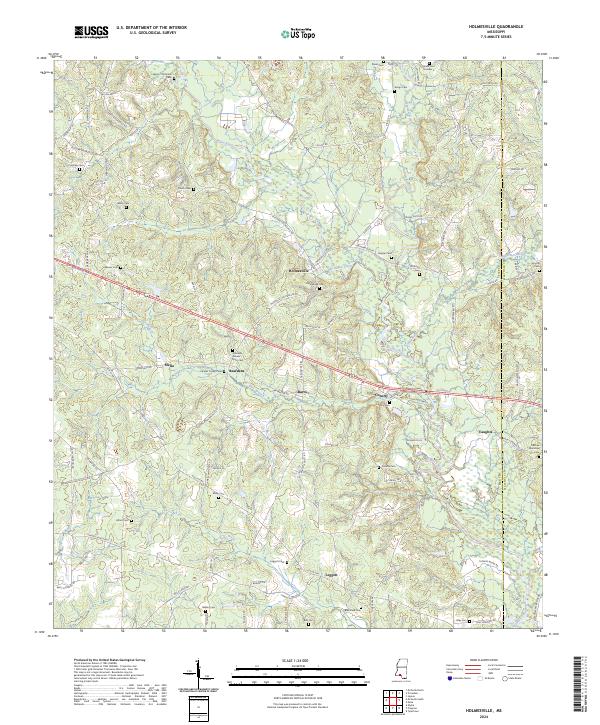
The Illinois Central RR corridor serves as the backbone for this section of Pike County, anchoring a series of settlements from McComb in the north through Bear Town, Fernwood, and into the county seat at Magnolia. The landscape is defined by the drainage networks of the Little Tangipahoa River and Minnehaha River, which carve through the terrain alongside major modern thoroughfares like I-55 and Us-98. Local governance and infrastructure are centered at the Pike County Courthouse and the McComb/Pike County Airport/John E Lewis Field. For those tracing family histories, the map is densely populated with small burial grounds such as Hollywood Cem, Navilla Cem, and Ansel Prewitt Cem, reflecting the deep-rooted community fabric of the rural area surrounding these established rail towns.
Find a feature on this map
55 named features on this map. Tap any name to fly to it.
Don’t see what you’re looking for? This feature index may not catch every label — zoom into the map to look around manually.
Map Details
Editions of this 2024 McComb South Map
This is the sole edition of this map. No revisions or reprints were ever made.
Historical Maps of Quinlivan Through Time
10 maps found
1972 Holmesville
Pike County, MS
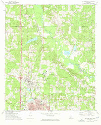
1972 McComb North
Pike County, MS
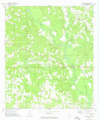
1972 McComb South
Pike County, MS
1972 Pricedale
Pike County, MS

1972 Progress
Pike County, MS
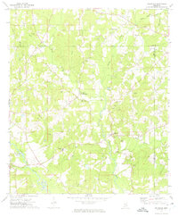
2024 Holmesville
Pike County, MS
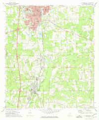
2024 McComb North
Pike County, MS
2024 McComb South
Pike County, MS
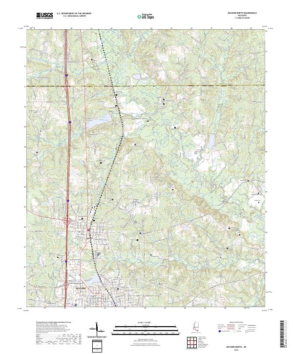
2024 Pricedale
Pike County, MS
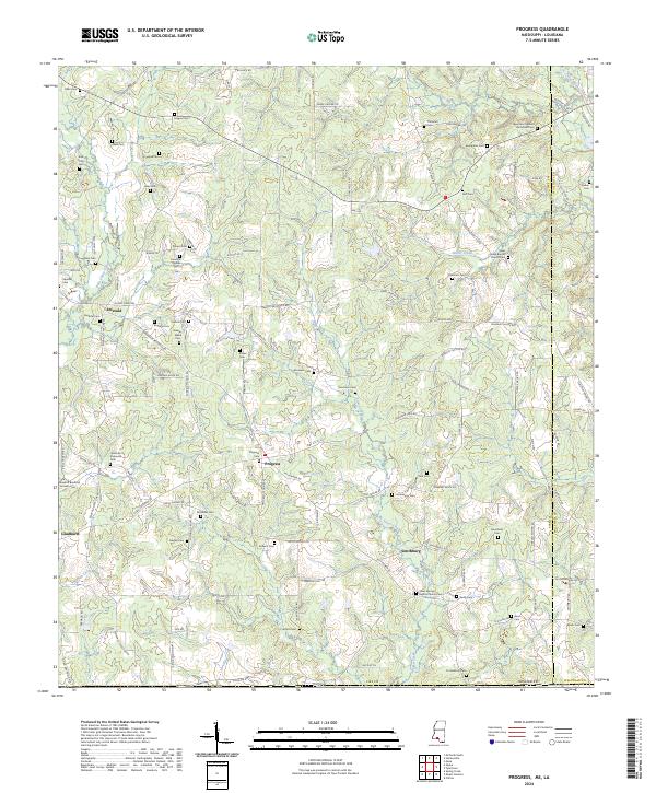
2024 Progress
Pike County, MS