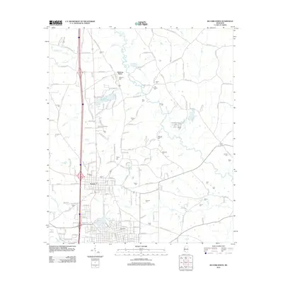
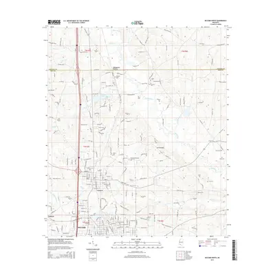
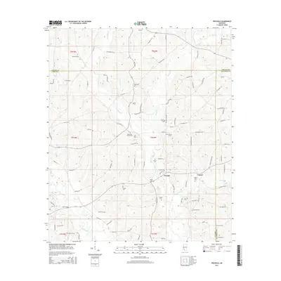
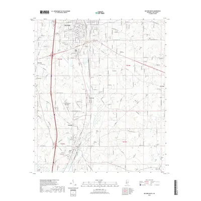
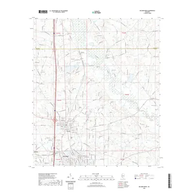
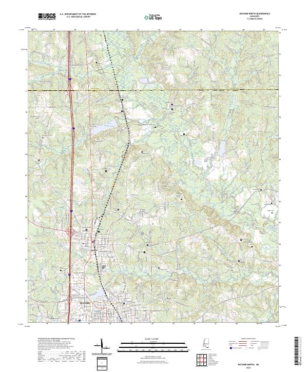
1972 Map of McComb North
USGS Topo · Published 1974About this map
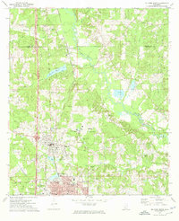
The Illinois Central Gulf railroad serves as the central spine for this 1970s landscape, connecting the northern settlement of Johnstons Station through the town of Summit and down into the northern limits of Mc Comb. The map captures a moment of institutional growth and industrial development, marked by the presence of Southwest Mississippi Jr College and the North Pike High Sch.
Find a feature on this map
46 named features on this map. Tap any name to fly to it.
Don’t see what you’re looking for? This feature index may not catch every label — zoom into the map to look around manually.
Map Details
Editions of this 1972 McComb North Map
This is the sole edition of this map. No revisions or reprints were ever made.
Historical Maps of McComb Through Time
30 maps found
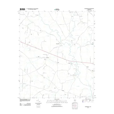
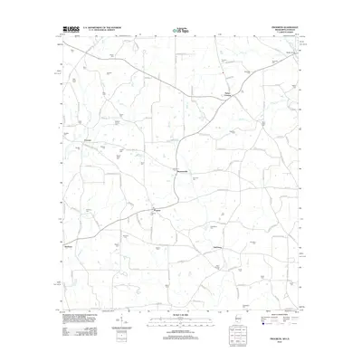
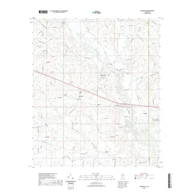
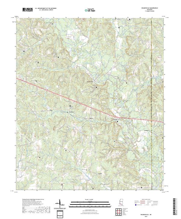
1972 Holmesville
Pike County, MS
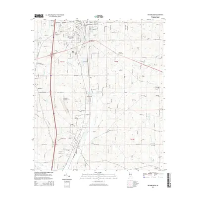
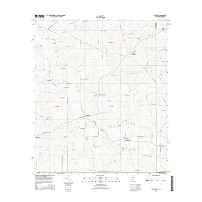
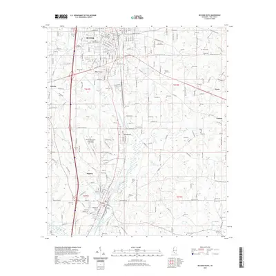
1972 McComb North
Pike County, MS
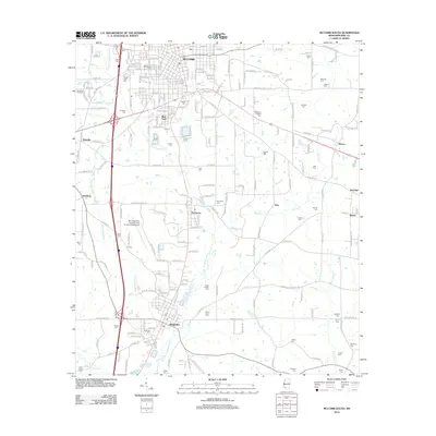
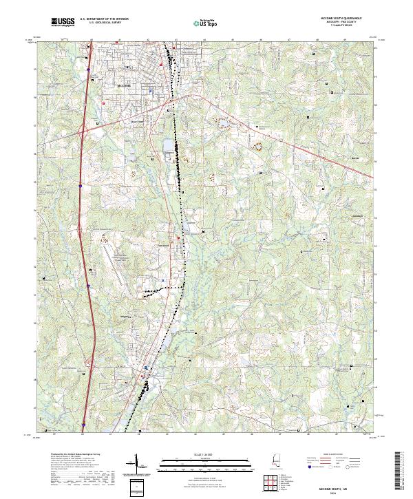
1972 McComb South
Pike County, MS
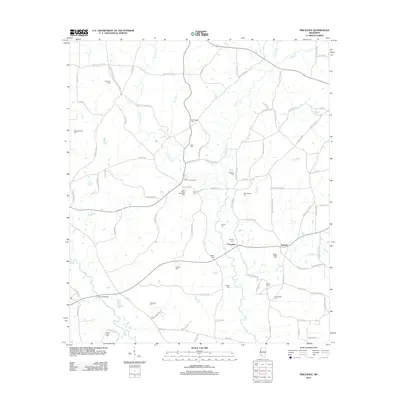
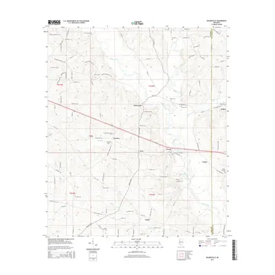
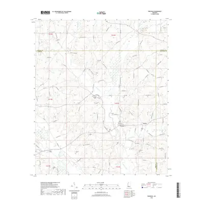
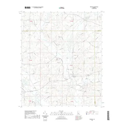
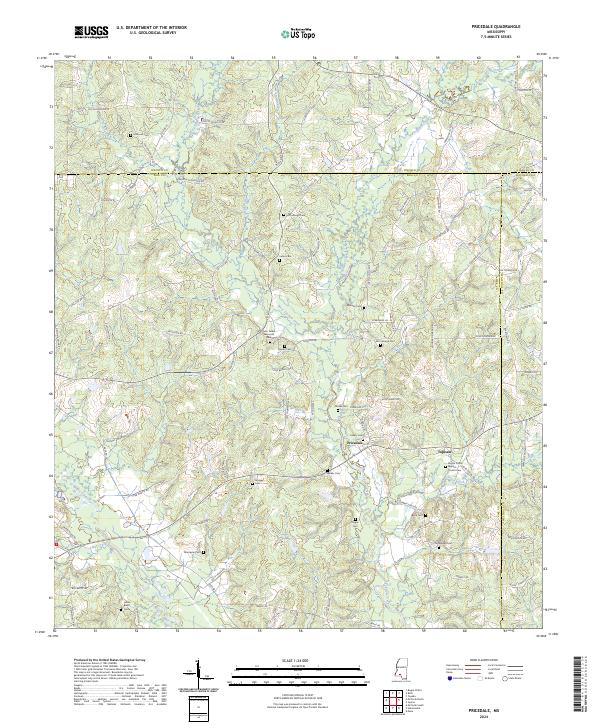
1972 Pricedale
Pike County, MS

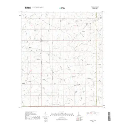
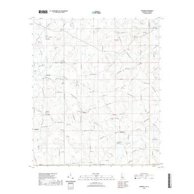
1972 Progress
Pike County, MS
2012 Holmesville
Pike County, MS
2012 McComb North
Pike County, MS
2012 McComb South
Pike County, MS
2012 Pricedale
Pike County, MS
2012 Progress
Pike County, MS
2015 Holmesville
Pike County, MS
2015 McComb North
Pike County, MS
2015 McComb South
Pike County, MS
2015 Pricedale
Pike County, MS
2015 Progress
Pike County, MS
2018 Holmesville
Pike County, MS
2018 McComb North
Pike County, MS
2018 McComb South
Pike County, MS
2018 Pricedale
Pike County, MS
2018 Progress
Pike County, MS
2020 Holmesville
Pike County, MS
2020 McComb North
Pike County, MS
2020 McComb South
Pike County, MS
2020 Pricedale
Pike County, MS
2020 Progress
Pike County, MS
2024 Holmesville
Pike County, MS
2024 McComb North
Pike County, MS
2024 McComb South
Pike County, MS
2024 Pricedale
Pike County, MS
2024 Progress
Pike County, MS