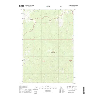
2020 Map of McConnell Mountain
USGS Topo · Published 2020About this map
Clearwater National Forest and Nez Perce National Forest meet in this high-elevation Idaho landscape, where the terrain is defined by dramatic ridgelines and isolated mountain meadows. This 2020 survey details a region dominated by McConnell Mtn and the surrounding drainage systems of Fish Lake Cr and Chain Cr. The absence of any developed roads or permanent settlements indicates a primitive wilderness character, with access limited to trail systems through places like Lost Knife Meadows and Chain Meadows.
Find a feature on this map
22 named features on this map. Tap any name to fly to it.
Don’t see what you’re looking for? This feature index may not catch every label — zoom into the map to look around manually.
Map Details
Editions of this 2020 McConnell Mountain Map
This is the sole edition of this map. No revisions or reprints were ever made.
Other maps of this area

1911 · Lolo
USGS Topo · 1:250,000

1913 · Lolo
USGS Topo · 1:250,000

1956 · Hamilton
USGS Topo · 1:250,000

1959 · Hamilton
USGS Topo · 1:250,000

1960 · Hamilton
USGS Topo · 1:250,000

1964 · Hamilton
USGS Topo · 1:250,000

1966 · Mc Connell Mtn
USGS Topo · 1:24,000
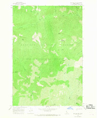
1966 · Big Rock Mtn
USGS Topo · 1:24,000
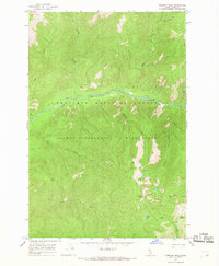
1966 · Freeman Peak
USGS Topo · 1:24,000
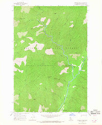
1966 · Shissler Peak
USGS Topo · 1:24,000