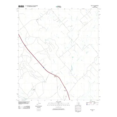
2010 Map of McCoy
USGS Topo · Published 2010About this map
The Atascosa River winds through this South Texas landscape, defining a terrain of low-lying brush and drainage systems in the early 21st century. The small community of McCoy sits at the junction of FM 541 and local roads, serving as a hub for the surrounding ranchlands. The area's transit and infrastructure are anchored by Us HWY 281 Alt, which cuts a straight path across the terrain, passing near the Arrow 'S' Ranch Airport.
Find a feature on this map
25 named features on this map. Tap any name to fly to it.
Don’t see what you’re looking for? This feature index may not catch every label — zoom into the map to look around manually.
Map Details
Editions of this 2010 McCoy Map
This is the sole edition of this map. No revisions or reprints were ever made.
Other maps of this area
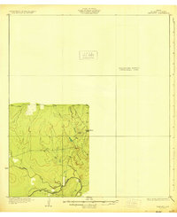
1930 · Whitsett
USGS Topo · 1:62,500
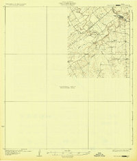
1931 · Falls City
USGS Topo · 1:62,500
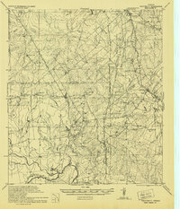
1942 · Whitsett
USGS Topo · 1:62,500
1953 · Crystal City
USGS Topo · 1:250,000
1955 · Crystal City
USGS Topo · 1:250,000
1956 · Suniland
USGS Topo · 1:62,500
1956 · Pleasanton
USGS Topo · 1:62,500
1961 · Crystal City
USGS Topo · 1:250,000
1961 · Three Oaks
USGS Topo · 1:24,000
1961 · Fashing
USGS Topo · 1:24,000