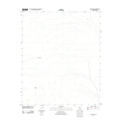
2012 Map of McCoy Peak
USGS Topo · Published 2012About this map
McCoy Mountains dominate this arid Riverside County landscape, where the elevation reaches its summit at McCoy Peak. The desert terrain is defined by the drainage patterns of McCoy Wash, which winds through the northeastern portion of the quadrangle. This 2012 survey provides a detailed view of the natural topography before more recent land use changes, focusing on the stark geological features of the Colorado Desert. The map serves as a primary record of the physical geography and undeveloped character of this specific range, highlighting the isolated peaks and dry watercourses that characterize the region's wilderness.
Find a feature on this map
3 named features on this map. Tap any name to fly to it.
Don’t see what you’re looking for? This feature index may not catch every label — zoom into the map to look around manually.
Map Details
Editions of this 2012 McCoy Peak Map
This is the sole edition of this map. No revisions or reprints were ever made.
Other maps of this area

1942 · Blythe
USGS Topo · 1:250,000

1945 · Big Maria Mtns
USGS Topo · 1:62,500

1945 · Midland
USGS Topo · 1:62,500

1951 · Big Maria Mts
USGS Topo · 1:62,500

1951 · McCoy Wash
USGS Topo · 1:24,000

1952 · Midland
USGS Topo · 1:62,500

1952 · Mc Coy Spring
USGS Topo · 1:62,500

1952 · Ripley
USGS Topo · 1:24,000

1954 · Salton Sea
USGS Topo · 1:250,000

1955 · Salton Sea
USGS Topo · 1:250,000