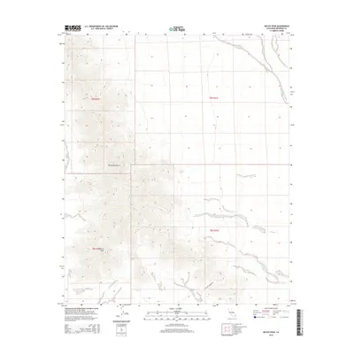
2015 Map of McCoy Peak
USGS Topo · Published 2015About this map
McCoy Peak anchors this arid landscape in Riverside County, marking the high point of the McCoy Mountains in the eastern California desert. The terrain is defined by dramatic elevation changes where the mountain range meets the alluvial fans of the Colorado Desert. Traversing the lower slopes, McCoy Springs Rd provides a historical access point through this isolated region. The map also traces the winding course of the McCoy Wash, a significant ephemeral drainage that cuts through the valley floor. This 2015 survey reflects the enduring character of the public lands within the t5s r20e and t6s r21e townships, where the desert environment remains largely unchanged by modern development.
Find a feature on this map
8 named features on this map. Tap any name to fly to it.
Don’t see what you’re looking for? This feature index may not catch every label — zoom into the map to look around manually.
Map Details
Editions of this 2015 McCoy Peak Map
This is the sole edition of this map. No revisions or reprints were ever made.
Other maps of this area

1942 · Blythe
USGS Topo · 1:250,000

1945 · Big Maria Mtns
USGS Topo · 1:62,500

1945 · Midland
USGS Topo · 1:62,500

1951 · Big Maria Mts
USGS Topo · 1:62,500

1951 · McCoy Wash
USGS Topo · 1:24,000

1952 · Midland
USGS Topo · 1:62,500

1952 · Mc Coy Spring
USGS Topo · 1:62,500

1952 · Ripley
USGS Topo · 1:24,000

1954 · Salton Sea
USGS Topo · 1:250,000

1955 · Salton Sea
USGS Topo · 1:250,000