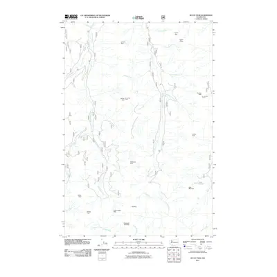
2011 Map of McCoy Peak
USGS Topo · Published 2011About this map
McCoy Peak and the high ridges of the Gifford Pinchot National Forest define this landscape in the southern Cascades. The 2011 survey details a high-elevation environment characterized by steep peaks and a dense network of forest roads and hiking trails. Prominent observation points like the McCoy Peak Lookout and Sunrise Peak Lookout stand as markers of fire management history atop the summits. The terrain is divided by significant drainage systems, where McCoy Creek and Yellowjacket Creek flow through deep valleys separated by prominent landforms such as Juniper Ridge and Langille Peak. Significant gaps in the ridgelines, including Yellow Jacket Pass, serve as natural transit points between the drainages of French Creek and Clear Creek. This map illustrates the intersection of primitive wilderness features like Dark Meadow with the engineered access routes required for modern forest service operations.
Find a feature on this map
34 named features on this map. Tap any name to fly to it.
Don’t see what you’re looking for? This feature index may not catch every label — zoom into the map to look around manually.
Map Details
Editions of this 2011 McCoy Peak Map
This is the sole edition of this map. No revisions or reprints were ever made.
Other maps of this area

1926 · Steamboat Mtn
USGS Topo · 1:125,000

1931 · Steamboat Mtn
USGS Topo · 1:125,000

1950 · Yakima
USGS Topo · 1:250,000

1958 · Yakima
USGS Topo · 1:250,000

1961 · Yakima
USGS Topo · 1:250,000
1965 · Greenhorn Buttes
USGS Topo · 1:24,000
1965 · Spencer Butte
USGS Topo · 1:24,000
1965 · Tower Rock
USGS Topo · 1:24,000
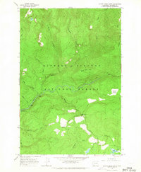
1965 · Quartz Creek Butte
USGS Topo · 1:24,000
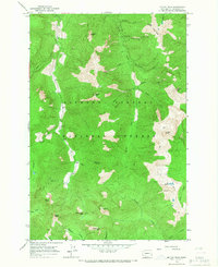
1965 · Mc Coy Peak
USGS Topo · 1:24,000