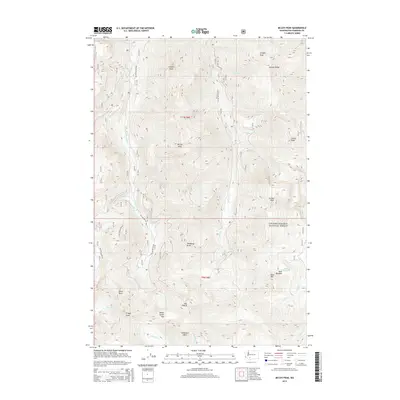
2014 Map of McCoy Peak
USGS Topo · Published 2014About this map
Gifford Pinchot National Forest dominates this section of Washington, defined by a series of high ridges and prominent summits. The landscape is oriented around a north-south drainage system led by McCoy Cr, which is fed by numerous tributaries including Bear Cr and Scamp Cr. Significant peaks such as McCoy Peak, Langille Peak, and Juniper Peak form a high-altitude perimeter around these valleys. The map documents a network of Forest Service infrastructure, specifically the National Forest Development Roads like Nat For Dev Rd 29 and Nat For Dev Rd 2809, which provide access to more remote locations like Yellow Jacket Pass and Dark Meadow. This 2014 survey serves as a modern record of the topography and managed access routes within this protected wilderness, marking landmarks such as Shark Rock and Snagtooth Mtn that have long served as navigational aids for travelers.
Find a feature on this map
42 named features on this map. Tap any name to fly to it.
Don’t see what you’re looking for? This feature index may not catch every label — zoom into the map to look around manually.
Map Details
Editions of this 2014 McCoy Peak Map
This is the sole edition of this map. No revisions or reprints were ever made.
Other maps of this area

1926 · Steamboat Mtn
USGS Topo · 1:125,000

1931 · Steamboat Mtn
USGS Topo · 1:125,000

1950 · Yakima
USGS Topo · 1:250,000

1958 · Yakima
USGS Topo · 1:250,000

1961 · Yakima
USGS Topo · 1:250,000
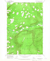
1965 · Greenhorn Buttes
USGS Topo · 1:24,000
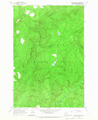
1965 · Spencer Butte
USGS Topo · 1:24,000
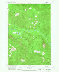
1965 · Tower Rock
USGS Topo · 1:24,000
1965 · Quartz Creek Butte
USGS Topo · 1:24,000
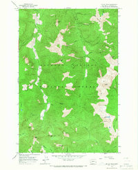
1965 · Mc Coy Peak
USGS Topo · 1:24,000