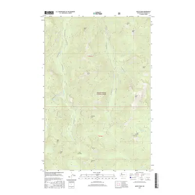
2017 Map of McCoy Peak
USGS Topo · Published 2017About this map
The Gifford Pinchot National Forest defines this high-elevation landscape in Skamania County, where a dense network of forest development roads provides access to prominent summits and ridges. High points such as McCoy Peak, Langille Peak, and Juniper Peak are connected by the lengthy Juniper Ridge, creating a topographical barrier between several major drainages. These include the headwaters of McCoy Creek, Veta Creek, and Yellowjacket Creek. Geologic and local identifiers like Shark Rock, Hat Rock, and Holdaway Butte appear as distinct landmarks amid the steep drainages. Further south, the terrain descends toward Dark Meadow and Dark Mountain, reflecting the area's name-heavy backcountry tradition. The dominance of Forest Service infrastructure, including routes like Nat For Dev Rd 28, indicates the region's management for both timber and recreation in the early 21st century.
Find a feature on this map
42 named features on this map. Tap any name to fly to it.
Don’t see what you’re looking for? This feature index may not catch every label — zoom into the map to look around manually.
Map Details
Editions of this 2017 McCoy Peak Map
This is the sole edition of this map. No revisions or reprints were ever made.
Other maps of this area

1926 · Steamboat Mtn
USGS Topo · 1:125,000

1931 · Steamboat Mtn
USGS Topo · 1:125,000

1950 · Yakima
USGS Topo · 1:250,000

1958 · Yakima
USGS Topo · 1:250,000

1961 · Yakima
USGS Topo · 1:250,000
1965 · Greenhorn Buttes
USGS Topo · 1:24,000
1965 · Spencer Butte
USGS Topo · 1:24,000
1965 · Tower Rock
USGS Topo · 1:24,000
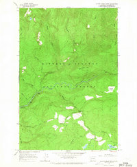
1965 · Quartz Creek Butte
USGS Topo · 1:24,000
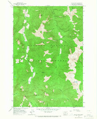
1965 · Mc Coy Peak
USGS Topo · 1:24,000