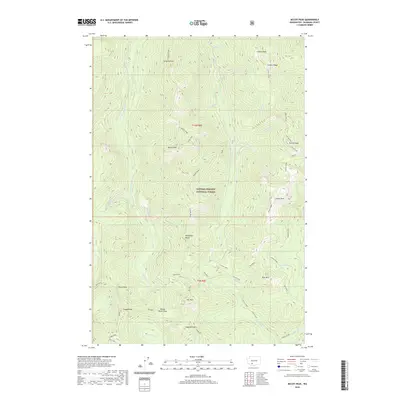
2020 Map of McCoy Peak
USGS Topo · Published 2020About this map
Gifford Pinchot National Forest encompasses this high-elevation landscape in Skamania County, dominated by a series of prominent summits and north-south running ridges. The terrain is anchored by McCoy Peak and Langille Peak, with Langille Ridge forming a continuous spine across the western half of the quadrangle. This 2020 survey illustrates a complex hydrological system where headwaters like McCoy Cr and Yellowjacket Cr drain the steep slopes, occasionally collecting in small basins such as Blue Lake 3.
Find a feature on this map
42 named features on this map. Tap any name to fly to it.
Don’t see what you’re looking for? This feature index may not catch every label — zoom into the map to look around manually.
Map Details
Editions of this 2020 McCoy Peak Map
This is the sole edition of this map. No revisions or reprints were ever made.
Other maps of this area

1926 · Steamboat Mtn
USGS Topo · 1:125,000

1931 · Steamboat Mtn
USGS Topo · 1:125,000

1950 · Yakima
USGS Topo · 1:250,000

1958 · Yakima
USGS Topo · 1:250,000

1961 · Yakima
USGS Topo · 1:250,000
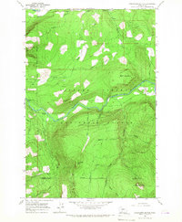
1965 · Greenhorn Buttes
USGS Topo · 1:24,000
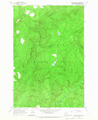
1965 · Spencer Butte
USGS Topo · 1:24,000
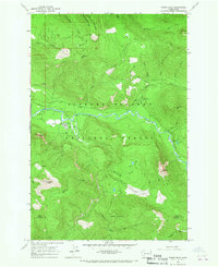
1965 · Tower Rock
USGS Topo · 1:24,000
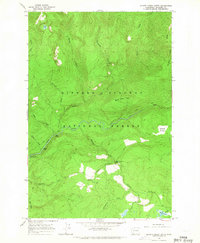
1965 · Quartz Creek Butte
USGS Topo · 1:24,000
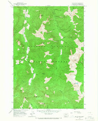
1965 · Mc Coy Peak
USGS Topo · 1:24,000