Loading...
Loading map...2022 Map of McCune
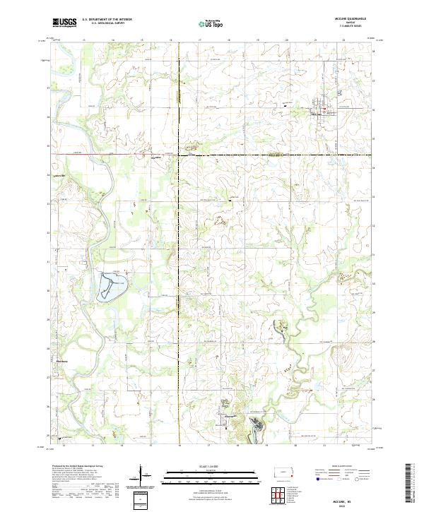
USGS Topo · Published 2022About this map
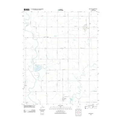
The Neosho River carves through the western edge of this landscape, anchoring a rural corridor where Labette, Crawford, and Cherokee Counties meet. The town of McCune serves as the primary hub in the northeast, defined by a tight grid of streets including Main St and Walnut St. This area reflects the transition from river-bottom land to the agricultural prairies of southeast Kansas, where small communities like Strauss and Laneville grew alongside local drainages.
Find a feature on this map
63 named features on this map. Tap any name to fly to it.
Don’t see what you’re looking for? This feature index may not catch every label — zoom into the map to look around manually.
Map Details
Date Portrayed2022
Date Published2022
PublisherU.S. Geological Survey
Map TypeTopographic
Scale1:24,000
Physical Dimensions24 x 29 inches
Editions of this 2022 McCune Map
This is the sole edition of this map. No revisions or reprints were ever made.
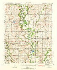
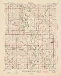
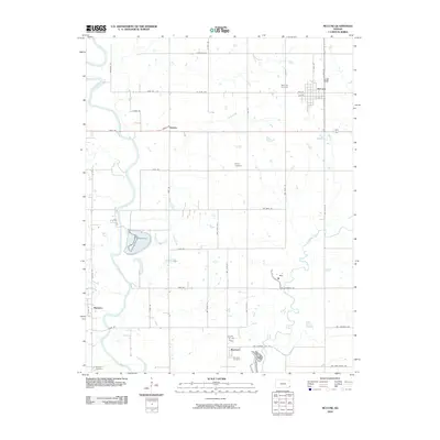
Historical Maps of McCune Through Time
7 maps found
Featured Locations
Source Details
SourceU.S. Geological Survey
CopyrightPublic Domain