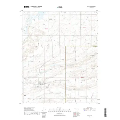
2018 Map of McCurtain
USGS Topo · Published 2018About this map
McCurtain anchors this landscape in southeastern Oklahoma, situated just south of the Seven Devils Mtn and the winding course of Sans Bois Creek. The map documents a transition from the lower reaches of the Robert S Kerr Reservoir in the north down toward the small settlements of Ironbridge and Panther. The land is defined by a dense network of watercourses, including Mule Cr, Owl Cr, and Wildhorse Cr, which carve through the terrain between Spring Mtn and the village center. For researchers, the map provides precise locations for local landmarks such as the Iron Bridge Cem and Garden of Memories Cem. The township and range lines of T8N and T9N organize the various county roads that connect these communities across the Haskell and Le Flore county line.
Find a feature on this map
58 named features on this map. Tap any name to fly to it.
Don’t see what you’re looking for? This feature index may not catch every label — zoom into the map to look around manually.
Map Details
Editions of this 2018 McCurtain Map
This is the sole edition of this map. No revisions or reprints were ever made.
Other maps of this area

1900 · Sansbois
USGS Topo · 1:125,000

1900 · Sallisaw
USGS Topo · 1:125,000

1909 · Sans Bois
USGS Topo · 1:125,000

1911 · Sallisaw
USGS Topo · 1:125,000

1911 · Sansbois
USGS Topo · 1:125,000

1946 · Fort Smith
USGS Topo · 1:250,000

1962 · Stigler East
USGS Topo · 1:24,000

1965 · Fort Smith
USGS Topo · 1:250,000

1967 · Fort Smith
USGS Topo · 1:250,000
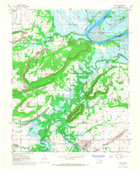
1967 · Keota
USGS Topo · 1:24,000