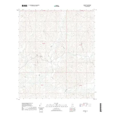
2018 Map of McEntyre
USGS Topo · Published 2018About this map
McEntyre sits at the center of this rural Clarke County landscape, characterized by a dense network of creek systems and small family cemeteries. The terrain is deeply carved by watercourses including Salitpa Cr, Wells Cr, and Morgan Cr, which dictate the winding paths of local routes like Daisy Rd and Nicco Rd. The map reveals a high concentration of burial sites such as New Prospect Cem and Huggins Cem, indicating long-established settlement patterns and family estates in the Alabama backcountry. A network of unpaved roads and connectors, including Prospect Rd and Otis Hare Rd, provide access to the timbered hillsides and creek bottoms that define the region's geographic character.
Find a feature on this map
35 named features on this map. Tap any name to fly to it.
Don’t see what you’re looking for? This feature index may not catch every label — zoom into the map to look around manually.
Map Details
Editions of this 2018 McEntyre Map
This is the sole edition of this map. No revisions or reprints were ever made.
Other maps of this area
1953 · Andalusia
USGS Topo · 1:250,000
1953 · Hattiesburg
USGS Topo · 1:250,000
1957 · Andalusia
USGS Topo · 1:250,000
1958 · Hattiesburg
USGS Topo · 1:250,000
1971 · Coffeeville
USGS Topo · 1:24,000
1972 · Tattlersville
USGS Topo · 1:24,000
1972 · Woods Bluff
USGS Topo · 1:24,000
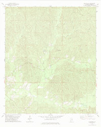
1978 · McEntyre
USGS Topo · 1:24,000
1978 · Bashi
USGS Topo · 1:24,000
1978 · Winn
USGS Topo · 1:24,000