
1978 Map of McEntyre
USGS Topo · Published 1979About this map
Satilpa Creek and its many tributaries, including Wells Creek and Morgan Creek, weave through this rural landscape in central Clarke County. The settlement of McEntyre serves as a small focal point in a region characterized by timber-lined ridges and narrow creek bottoms. The topography is dotted with markers of local community life, such as New Prospect Ch and Oak Grove Ch, alongside the Huggins Cem.
Find a feature on this map
16 named features on this map. Tap any name to fly to it.
Don’t see what you’re looking for? This feature index may not catch every label — zoom into the map to look around manually.
Map Details
Editions of this 1978 McEntyre Map
This is the sole edition of this map. No revisions or reprints were ever made.
Other maps of this area

1953 · Andalusia
USGS Topo · 1:250,000

1953 · Hattiesburg
USGS Topo · 1:250,000

1957 · Andalusia
USGS Topo · 1:250,000

1958 · Hattiesburg
USGS Topo · 1:250,000

1971 · Coffeeville
USGS Topo · 1:24,000

1972 · Tattlersville
USGS Topo · 1:24,000

1972 · Woods Bluff
USGS Topo · 1:24,000
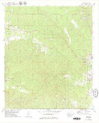
1978 · Bashi
USGS Topo · 1:24,000

1978 · Winn
USGS Topo · 1:24,000
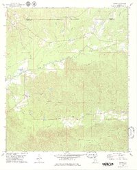
1978 · Morvin
USGS Topo · 1:24,000