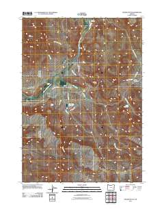
2011 Map of McEwen Butte
USGS Topo · Published 2011About this map
McRae Homestead and McEwen Ranch are situated along the South Fork Malheur River, illustrating the long-standing ranching tradition of eastern Oregon. This 2011 survey reveals an intricate system of water management in a high-desert environment, centered on the Visher Feed Canal and several significant impoundments including Visher Reservoir and Cob Creek Reservoir. The terrain is defined by volcanic features like McEwen Butte and Buck Mountain, while the hydrology is shaped by Visher Creek and its many tributaries.
Find a feature on this map
24 named features on this map. Tap any name to fly to it.
Don’t see what you’re looking for? This feature index may not catch every label — zoom into the map to look around manually.
Map Details
Editions of this 2011 McEwen Butte Map
This is the sole edition of this map. No revisions or reprints were ever made.
Other maps of this area

1955 · Burns
USGS Topo · 1:250,000

1958 · Burns
USGS Topo · 1:250,000

1959 · Burns
USGS Topo · 1:250,000
1968 · Venator
USGS Topo · 1:62,500
1972 · Mc Ewen Butte
USGS Topo · 1:24,000
1972 · Stockade Mtn
USGS Topo · 1:62,500
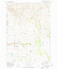
1972 · Venator Reservoir
USGS Topo · 1:24,000
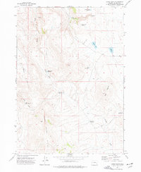
1972 · Hickey Basin
USGS Topo · 1:24,000
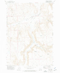
1972 · Venator
USGS Topo · 1:24,000
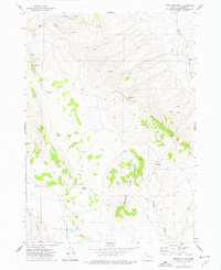
1972 · Stockade Mtn
USGS Topo · 1:24,000