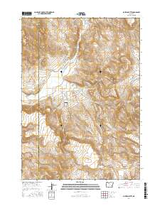
2017 Map of McEwen Butte
USGS Topo · Published 2017About this map
Luce Hot Springs and other thermal features like Mud Spring define this high-desert landscape in southeastern Oregon, where water management is critical to the local geography. The map illustrates a complex network of hydraulic engineering, including Cables Ditch, the Visher Feed Canal, and several reservoirs such as McEwen Reservoir and White Reservoir. These features suggest a history of agricultural or ranching development along the South Fork Malheur River.
Find a feature on this map
31 named features on this map. Tap any name to fly to it.
Don’t see what you’re looking for? This feature index may not catch every label — zoom into the map to look around manually.
Map Details
Editions of this 2017 McEwen Butte Map
This is the sole edition of this map. No revisions or reprints were ever made.
Other maps of this area

1955 · Burns
USGS Topo · 1:250,000

1958 · Burns
USGS Topo · 1:250,000

1959 · Burns
USGS Topo · 1:250,000
1968 · Venator
USGS Topo · 1:62,500
1972 · Mc Ewen Butte
USGS Topo · 1:24,000
1972 · Stockade Mtn
USGS Topo · 1:62,500
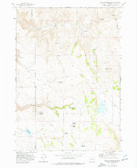
1972 · Venator Reservoir
USGS Topo · 1:24,000
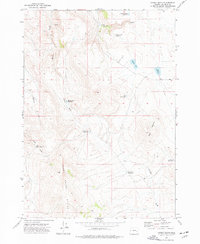
1972 · Hickey Basin
USGS Topo · 1:24,000
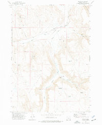
1972 · Venator
USGS Topo · 1:24,000
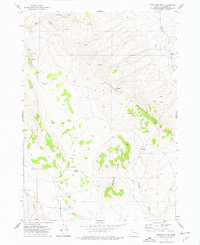
1972 · Stockade Mtn
USGS Topo · 1:24,000