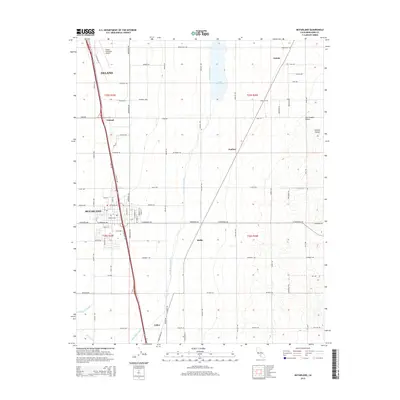
2015 Map of McFarland
USGS Topo · Published 2015About this map
Agricultural development and water management infrastructure define this portion of the San Joaquin Valley near the Kern County towns of McFarland and Delano. The landscape is dominated by a precise grid of roads and orchards, centered on the critical passage of the Friant-Kern Canal. This massive engineering work, accompanied by Lake Woollomes and the Calloway Canal, illustrates the scale of irrigation required to support the region's productivity. Along the railway corridors, smaller settlements such as Vinland, Zentner, and Jasmin appear as transit points for local goods. To the west, the Delano Municipal Airport serves as a regional hub, while the southern reaches of the quadrangle include the named locales of Hollis and Calico near Poso Creek. The map provides a detailed view of the mid-2010s rural infrastructure, from the major thoroughfare of Elmo Hwy to the network of family and farm-access roads like Pond Rd and Whisler Rd.
Find a feature on this map
77 named features on this map. Tap any name to fly to it.
Don’t see what you’re looking for? This feature index may not catch every label — zoom into the map to look around manually.
Map Details
Editions of this 2015 McFarland Map
This is the sole edition of this map. No revisions or reprints were ever made.
Other maps of this area
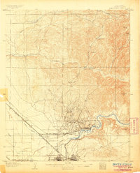
1906 · Bakersfield
USGS Topo · 1:62,500
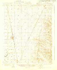
1927 · McFarland
USGS Topo · 1:31,680
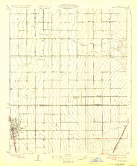
1929 · Delano
USGS Topo · 1:31,680
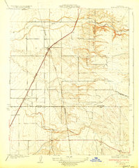
1929 · Richgrove
USGS Topo · 1:31,680
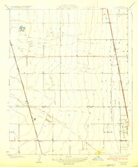
1929 · Stone
USGS Topo · 1:31,680
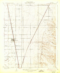
1930 · McFarland
USGS Topo · 1:31,680
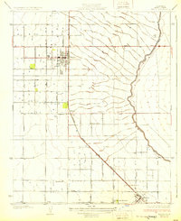
1930 · Wasco
USGS Topo · 1:31,680
1930 · Pond
USGS Topo · 1:31,680
1930 · Famoso
USGS Topo · 1:31,680
1931 · Deepwell Ranch
USGS Topo · 1:31,680