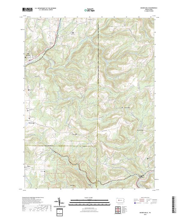
2023 Map of McGees Mills
USGS Topo · Published 2023About this map
The Punxsutawney Reservoir sits at the heart of this landscape where the borders of Jefferson, Clearfield, and Indiana counties meet. This modern survey reveals a region defined by its narrow valley settlements and high-elevation cemeteries, reflecting a deeply rooted rural burial tradition. The topography is shaped by the complex drainage of the East Branch Mahoning Creek and Clover Run, which carved the steep hollows where villages like Bowersville and McGees Mills developed.
Find a feature on this map
83 named features on this map. Tap any name to fly to it.
Don’t see what you’re looking for? This feature index may not catch every label — zoom into the map to look around manually.
Map Details
Editions of this 2023 McGees Mills Map
This is the sole edition of this map. No revisions or reprints were ever made.
Other maps of this area

1903 · Curwensville
USGS Topo · 1:62,500

1906 · Punxsutawney
USGS Topo · 1:62,500

1922 · Du Bois
USGS Topo · 1:62,500

1924 · Du Bois
USGS Topo · 1:62,500

1929 · Penfield
USGS Topo · 1:62,500

1932 · Penfield
USGS Topo · 1:62,500

1939 · Curwensville
USGS Topo · 1:62,500

1939 · Punxsutawney
USGS Topo · 1:62,500

1942 · Curwensville
USGS Topo · 1:62,500

1942 · Punxsutawney
USGS Topo · 1:62,500