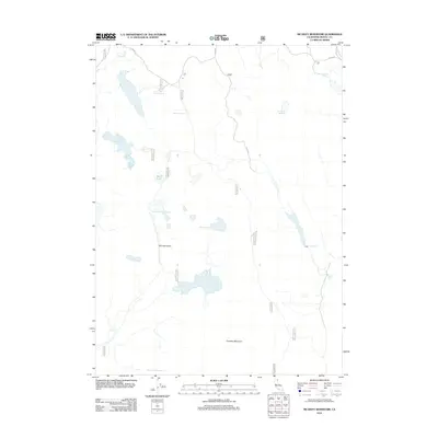
2012 Map of McGinty Reservoir
USGS Topo · Published 2012About this map
McGinty Reservoir and the high desert terrain of Modoc County define this landscape, where water management is central to the area's utility. The map reveals a sophisticated network of artificial catchments, ranging from the large Green Spring Reservoir to smaller points like Drift Fence Tank and Poindexter Reservoir. These features, alongside Mud Lake and Lakeshore Reservoir, suggest a landscape shaped by the needs of livestock grazing and seasonal water storage in an arid environment.
Find a feature on this map
27 named features on this map. Tap any name to fly to it.
Don’t see what you’re looking for? This feature index may not catch every label — zoom into the map to look around manually.
Map Details
Editions of this 2012 McGinty Reservoir Map
This is the sole edition of this map. No revisions or reprints were ever made.
Other maps of this area
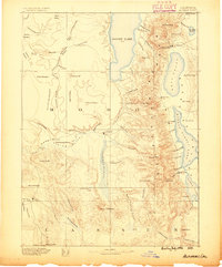
1886 · Alturas
USGS Topo · 1:250,000
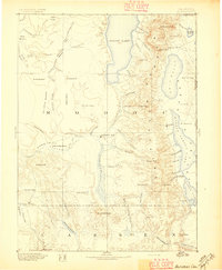
1892 · Alturas
USGS Topo · 1:250,000
1954 · Alturas
USGS Topo · 1:250,000
1958 · Alturas
USGS Topo · 1:250,000
1962 · Alturas
USGS Topo · 1:250,000
1962 · Davis Creek
USGS Topo · 1:62,500
1962 · Big Sage Reservoir
USGS Topo · 1:62,500
1962 · Willow Ranch
USGS Topo · 1:62,500
1962 · South Mountain
USGS Topo · 1:62,500
1965 · Alturas
USGS Topo · 1:250,000