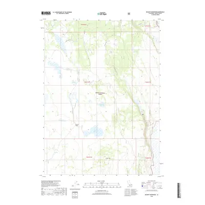
2018 Map of McGinty Reservoir
USGS Topo · Published 2018About this map
Modoc National Forest encompasses this high plateau landscape, where the management of water resources is central to the land's utility. The terrain is defined by volcanic features like Crowder Mtn and the seasonal depressions of Rimrock Valley, punctuated by a network of catchments including Poindexter Reservoir, Lakeshore Reservoir, and Crowder Mountain Reservoir. These engineered water bodies, alongside smaller features like Drift Fence Tank, illustrate the historical and ongoing importance of water security for livestock and wildlife in this part of northeastern California. Named springs such as Green Spring, McLain Spring, and Pine Spring serve as critical natural landmarks. The presence of Mud Lake and the drainage of Fletcher Cr further delineate the hydrology of this high-elevation forest and rangeland.
Find a feature on this map
20 named features on this map. Tap any name to fly to it.
Don’t see what you’re looking for? This feature index may not catch every label — zoom into the map to look around manually.
Map Details
Editions of this 2018 McGinty Reservoir Map
This is the sole edition of this map. No revisions or reprints were ever made.
Other maps of this area
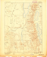
1886 · Alturas
USGS Topo · 1:250,000
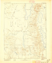
1892 · Alturas
USGS Topo · 1:250,000
1954 · Alturas
USGS Topo · 1:250,000
1958 · Alturas
USGS Topo · 1:250,000
1962 · Alturas
USGS Topo · 1:250,000
1962 · Davis Creek
USGS Topo · 1:62,500
1962 · Big Sage Reservoir
USGS Topo · 1:62,500
1962 · Willow Ranch
USGS Topo · 1:62,500
1962 · South Mountain
USGS Topo · 1:62,500
1965 · Alturas
USGS Topo · 1:250,000