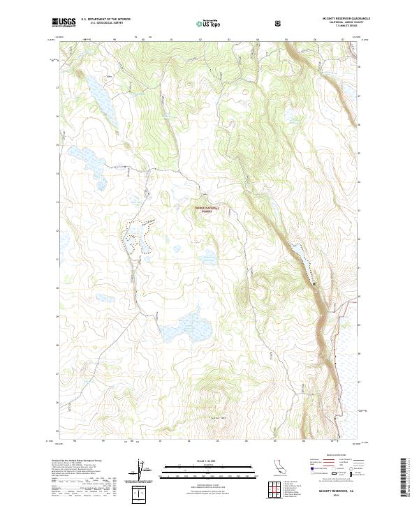
2021 Map of McGinty Reservoir
USGS Topo · Published 2021About this map
Modoc National Forest encompasses this high-elevation landscape in northeastern California, defined by a series of water management features and natural springs. The terrain is characterized by broad valleys and volcanic features, most notably the prominent Crowder Mtn and the adjacent Rimrock Valley. This 2021 survey illustrates a sophisticated network of water storage essential to the region, including Crowder Mountain Reservoir, Lakeshore Reservoir, and Poindexter Reservoir. Smaller water sources like McLain Spring, Green Spring, and Pine Spring are scattered across the quadrangle, indicating the vital importance of dependable water points in this arid forest environment. The map also traces the path of Fletcher Cr in the northwest and identifies several smaller natural basins such as Mud Lake and the uniquely named Drift Fence Tank, providing a detailed view of the area's hydrology and land use.
Find a feature on this map
18 named features on this map. Tap any name to fly to it.
Don’t see what you’re looking for? This feature index may not catch every label — zoom into the map to look around manually.
Map Details
Editions of this 2021 McGinty Reservoir Map
This is the sole edition of this map. No revisions or reprints were ever made.
Other maps of this area

1886 · Alturas
USGS Topo · 1:250,000

1892 · Alturas
USGS Topo · 1:250,000

1954 · Alturas
USGS Topo · 1:250,000

1958 · Alturas
USGS Topo · 1:250,000

1962 · Alturas
USGS Topo · 1:250,000

1962 · Davis Creek
USGS Topo · 1:62,500

1962 · Big Sage Reservoir
USGS Topo · 1:62,500

1962 · Willow Ranch
USGS Topo · 1:62,500

1962 · South Mountain
USGS Topo · 1:62,500

1965 · Alturas
USGS Topo · 1:250,000