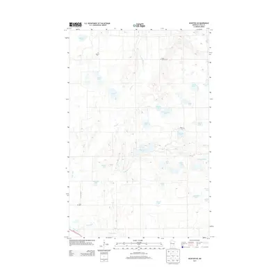
2013 Map of McIntosh NE
USGS Topo · Published 2013About this map
Glacial remains define the landscape of eastern Polk County in this recent survey, where a dense network of kettle lakes and wetlands dictates the local geography. Significant water bodies like Hill River Lake and Evenmoe Lake are interspersed with smaller, family-named features such as Jeppson Lake and Wardeberg Lake. The meandering Hill River and Poplar River drain this portion of the Red River Valley watershed, winding through a terrain where human settlement is marked primarily by small country cemeteries. These sites, including Oakland Cem and Asphalt Cem, alongside the Vernes Lutheran Cem, serve as primary landmarks for genealogists and local historians tracking the early Scandinavian and European pioneer families who established these rural parishes. Connectivity is maintained by the corridor of Us-2 and the grid of local thoroughfares like NE Cottage Ave.
Find a feature on this map
32 named features on this map. Tap any name to fly to it.
Don’t see what you’re looking for? This feature index may not catch every label — zoom into the map to look around manually.
Map Details
Editions of this 2013 McIntosh NE Map
This is the sole edition of this map. No revisions or reprints were ever made.
Other maps of this area
1919 · Fosston
USGS Topo · 1:62,500
1919 · Grit
USGS Topo · 1:62,500
1919 · Winsor
USGS Topo · 1:62,500

1954 · Bemidji
USGS Topo · 1:250,000

1957 · Bemidji
USGS Topo · 1:250,000

1958 · Bemidji
USGS Topo · 1:250,000
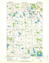
1969 · Olga
USGS Topo · 1:24,000
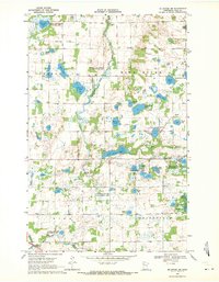
1969 · Mc Intosh NE
USGS Topo · 1:24,000
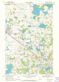
1969 · Fosston East
USGS Topo · 1:24,000
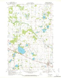
1969 · Mc Intosh
USGS Topo · 1:24,000