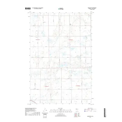
2019 Map of McIntosh NE
USGS Topo · Published 2019About this map
Hill River and Poplar River meander through this Polk County landscape, which is defined by an intricate network of glacial lakes and wetlands. The region's agricultural and communal history is anchored by several rural burial grounds, including the Vernes Lutheran Cem, Oakland Cem, and the uniquely named Asphalt Cem. A rigid grid of township roads, such as Co Hwy 5 and 300th St SE, segments the terrain, illustrating the systematic land division typical of the Upper Midwest. Many of the water bodies carry names that likely reflect early settler families, such as Syverson Lake, Hougom Lake, and Wardeberg Lake. The presence of features like Lindberg Slough and Jeppson Lake further suggests a long history of local land use surrounding these natural basins.
Find a feature on this map
58 named features on this map. Tap any name to fly to it.
Don’t see what you’re looking for? This feature index may not catch every label — zoom into the map to look around manually.
Map Details
Editions of this 2019 McIntosh NE Map
This is the sole edition of this map. No revisions or reprints were ever made.
Other maps of this area
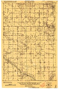
1919 · Fosston
USGS Topo · 1:62,500
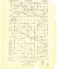
1919 · Grit
USGS Topo · 1:62,500
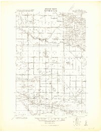
1919 · Winsor
USGS Topo · 1:62,500

1954 · Bemidji
USGS Topo · 1:250,000

1957 · Bemidji
USGS Topo · 1:250,000

1958 · Bemidji
USGS Topo · 1:250,000
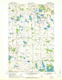
1969 · Olga
USGS Topo · 1:24,000
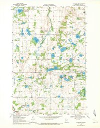
1969 · Mc Intosh NE
USGS Topo · 1:24,000
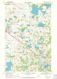
1969 · Fosston East
USGS Topo · 1:24,000
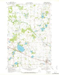
1969 · Mc Intosh
USGS Topo · 1:24,000