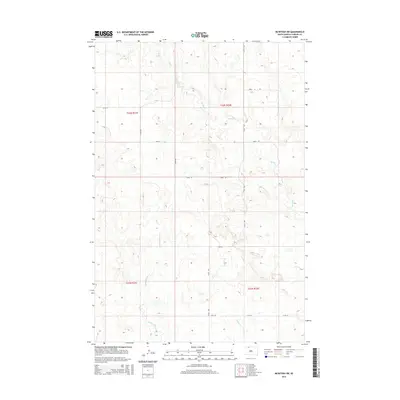
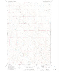
2015 Map of McIntosh SW
USGS Topo · Published 2015About this map
Hump Cr meanders across the high plains of northern South Dakota in this 2015 survey, defining the drainage patterns of the Rock Creek District. The landscape is structured by a precise section-line road network, where routes like 235th Ave and 108th St trace the underlying Public Land Survey System boundaries of t22n r22e and adjacent townships.
Find a feature on this map
17 named features on this map. Tap any name to fly to it.
Don’t see what you’re looking for? This feature index may not catch every label — zoom into the map to look around manually.
Map Details
Editions of this 2015 McIntosh SW Map
This is the sole edition of this map. No revisions or reprints were ever made.
Other maps of this area

1953 · McIntosh
USGS Topo · 1:250,000
1956 · Black Horse NE
USGS Topo · 1:24,000
1956 · Cottonwood Creek NE
USGS Topo · 1:24,000
1956 · Black Horse
USGS Topo · 1:24,000

1958 · McIntosh
USGS Topo · 1:250,000
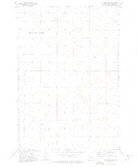
1972 · McIntosh SW
USGS Topo · 1:24,000
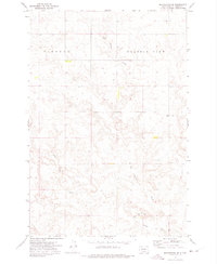
1972 · Morristown SE
USGS Topo · 1:24,000
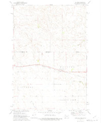
1972 · Watauga
USGS Topo · 1:24,000
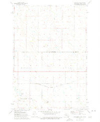
1972 · Hump Butte
USGS Topo · 1:24,000
1972 · McIntosh SE
USGS Topo · 1:24,000