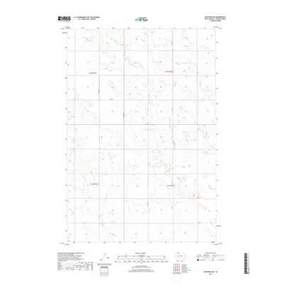
2017 Map of McIntosh SW
USGS Topo · Published 2017About this map
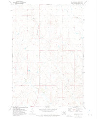
Soldier Creek and its southern tributary, Little Soldier Creek, carve a drainage pattern through this section of the Great Plains in north-central South Dakota. The landscape is defined by the Public Land Survey System grid, which dictates the placement of rural section roads such as 232nd Ave and 108th St. These straight-line corridors connect isolated homesteads and ranching operations characteristic of Corson County's wide-open terrain. To the north, Hump Creek winds through the topography, appearing here as a series of intermittent segments. This 2017 survey by the U.S. Geological Survey documents the persistence of the traditional township-and-range layout, showing how modern county infrastructure like Co Rd follows the same lines established by early surveyors in Township 22 North, Range 22 East.
Find a feature on this map
14 named features on this map. Tap any name to fly to it.
Don’t see what you’re looking for? This feature index may not catch every label — zoom into the map to look around manually.
Map Details
Editions of this 2017 McIntosh SW Map
This is the sole edition of this map. No revisions or reprints were ever made.
Other maps of this area

1953 · McIntosh
USGS Topo · 1:250,000
1956 · Black Horse NE
USGS Topo · 1:24,000
1956 · Cottonwood Creek NE
USGS Topo · 1:24,000
1956 · Black Horse
USGS Topo · 1:24,000

1958 · McIntosh
USGS Topo · 1:250,000
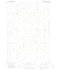
1972 · McIntosh SW
USGS Topo · 1:24,000
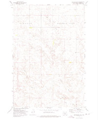
1972 · Morristown SE
USGS Topo · 1:24,000
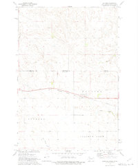
1972 · Watauga
USGS Topo · 1:24,000
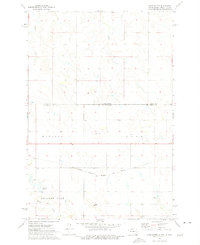
1972 · Hump Butte
USGS Topo · 1:24,000
1972 · McIntosh SE
USGS Topo · 1:24,000