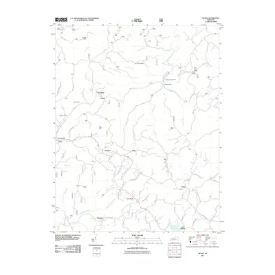
2011 Map of McKee
USGS Topo · Published 2011About this map
McKee serves as the focal point for this portion of Jackson County, Kentucky, where the McKee Post Office anchors a landscape defined by sharp ridges and deep hollows. The terrain is intricately divided by watercourses such as War Fork and Pigeon Roost Creek, creating a network of isolated settlements and family-named landmarks. The presence of Stelle Cemeteries in the northwest and smaller communities like Macedonia, Gray Hawk, and Oak Grove reflects a long-standing rural settlement pattern.
Find a feature on this map
67 named features on this map. Tap any name to fly to it.
Don’t see what you’re looking for? This feature index may not catch every label — zoom into the map to look around manually.
Map Details
Editions of this 2011 McKee Map
This is the sole edition of this map. No revisions or reprints were ever made.
Other maps of this area

1891 · Manchester
USGS Topo · 1:125,000

1892 · Richmond
USGS Topo · 1:125,000

1892 · Beattyville
USGS Topo · 1:125,000

1893 · London
USGS Topo · 1:125,000

1897 · Richmond
USGS Topo · 1:125,000

1897 · London
USGS Topo · 1:125,000

1952 · Alcorn
USGS Topo · 1:24,000

1952 · Leighton
USGS Topo · 1:24,000

1952 · Heidelberg
USGS Topo · 1:24,000

1953 · Mc Kee
USGS Topo · 1:24,000