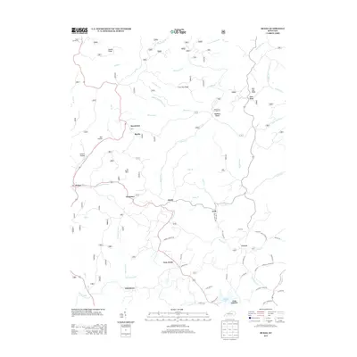
2013 Map of McKee
USGS Topo · Published 2013About this map
Turkey Foot Campground and the surrounding woodlands define the central landscape of this Kentucky quadrangle. The terrain is characterized by a series of prominent ridges, including Brushy Ridge, Lime Kiln Ridge, and New Zion Ridge, which separate a dense network of water bodies such as War Fork, Elsam Fork, and Blackwater Cr. The settlement pattern is largely dispersed, with small communities like Macedonia, Gray Hawk, and Atkinstown connected by rural routes such as Spurlock Rd and Farmer Cemetery Rd. South of these settlements lies Beulah Lake near the community of Oak Grove. For local history researchers, the map provides precise locations for family-named landmarks and rural infrastructure, including Stelle Cemeteries in the north and the complex drainage of Granny Dismal Cr.
Find a feature on this map
70 named features on this map. Tap any name to fly to it.
Don’t see what you’re looking for? This feature index may not catch every label — zoom into the map to look around manually.
Map Details
Editions of this 2013 McKee Map
This is the sole edition of this map. No revisions or reprints were ever made.
Other maps of this area

1891 · Manchester
USGS Topo · 1:125,000

1892 · Richmond
USGS Topo · 1:125,000

1892 · Beattyville
USGS Topo · 1:125,000

1893 · London
USGS Topo · 1:125,000

1897 · Richmond
USGS Topo · 1:125,000

1897 · London
USGS Topo · 1:125,000

1952 · Alcorn
USGS Topo · 1:24,000

1952 · Leighton
USGS Topo · 1:24,000

1952 · Heidelberg
USGS Topo · 1:24,000

1953 · Mc Kee
USGS Topo · 1:24,000