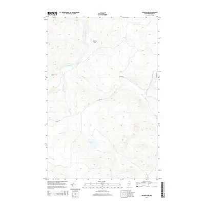
2014 Map of McKeen Lake
USGS Topo · Published 2014About this map
The Allagash River winds through this northern Aroostook County landscape, punctuated by the Bank Rapids and the prominent McKeen Island near the mouth of McKeen Brook. The terrain is defined by a network of waterways and remote logging access routes like Big Brook Rd and St Francis Rd. In the southeastern portion of the quadrangle, McKeen Lake and Mink Pond sit within the drainage basins of Big Brook and Squirrel Brook. This 2014 survey illustrates the modern configuration of this storied wilderness corridor, where navigation is still marked by natural hazards such as McGargle Rocks. The map detail provides a clear view of the elevation and forest access infrastructure in this undeveloped region of Maine.
Find a feature on this map
12 named features on this map. Tap any name to fly to it.
Don’t see what you’re looking for? This feature index may not catch every label — zoom into the map to look around manually.
Map Details
Editions of this 2014 McKeen Lake Map
This is the sole edition of this map. No revisions or reprints were ever made.
Other maps of this area

1930 · Allagash
USGS Topo · 1:48,000

1930 · St Francis
USGS Topo · 1:48,000

1931 · Fish River Lake
USGS Topo · 1:48,000

1932 · Allagash Falls
USGS Topo · 1:48,000

1933 · Allagash
USGS Topo · 1:62,500

1933 · St Francis
USGS Topo · 1:62,500

1935 · Fish River Lake
USGS Topo · 1:62,500

1935 · Allagash Falls
USGS Topo · 1:62,500

1954 · Presque Isle
USGS Topo · 1:250,000

1956 · Allagash Falls
USGS Topo · 1:50,000