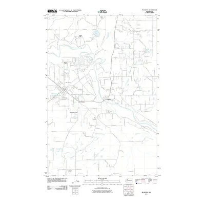
2011 Map of McKenna
USGS Topo · Published 2011About this map
The Nisqually River winds through this Pierce and Thurston County landscape, anchoring a region defined by agricultural prairies and growing aviation infrastructure. The city of Yelm and the community of McKenna serve as central hubs, connected by the Old McKenna Hwy and surrounded by smaller settlements like North Yelm, Five Corners, and Four Corners. Significant open spaces and military lands are represented by the presence of Fort Lewis, while the area's aviation character is highlighted by both Yelm Airpark and Flying B Airport. Water resources are prominent across the terrain, from larger bodies like Lewis Lake and Lake Serene, which features the Serene Lake Dam, to smaller features like Solberg Lake and McKenzie Lake. This topographical record captures the area as residential expansion continues to fill the historic Yelm Prairie.
Find a feature on this map
24 named features on this map. Tap any name to fly to it.
Don’t see what you’re looking for? This feature index may not catch every label — zoom into the map to look around manually.
Map Details
Editions of this 2011 McKenna Map
This is the sole edition of this map. No revisions or reprints were ever made.
Other maps of this area

1897 · Tacoma
USGS Topo · 1:125,000

1900 · Tacoma
USGS Topo · 1:125,000

1916 · Chehalis
USGS Topo · 1:125,000

1937 · Eatonville
USGS Topo · 1:125,000

1940 · Anderson Island
USGS Topo · 1:62,500

1941 · Tanwax Lake
USGS Topo · 1:62,500

1941 · Tacoma South
USGS Topo · 1:62,500

1944 · Tacoma South
USGS Topo · 1:62,500

1944 · Yelm
USGS Topo · 1:62,500

1944 · Ohop Valley
USGS Topo · 1:62,500