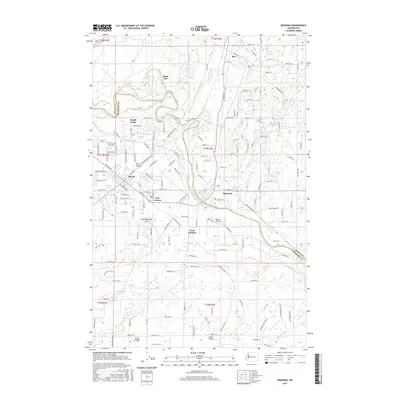
2017 Map of McKenna
USGS Topo · Published 2017About this map
The Nisqually River serves as the primary geographical divider in this region, marking the boundary between Pierce Co and Thurston Co. The landscape transitions from the developed corridors of Yelm and McKenna to the open expanses of Yelm Prairie and Smith Prairie. Infrastructure is a defining characteristic of this area, where the Centralia Canal and the Northern Pacific Rd SE right-of-way run parallel through the terrain, reflecting the long-standing transport and utility networks of the Nisqually Valley.
Find a feature on this map
108 named features on this map. Tap any name to fly to it.
Don’t see what you’re looking for? This feature index may not catch every label — zoom into the map to look around manually.
Map Details
Editions of this 2017 McKenna Map
This is the sole edition of this map. No revisions or reprints were ever made.
Other maps of this area

1897 · Tacoma
USGS Topo · 1:125,000

1900 · Tacoma
USGS Topo · 1:125,000

1916 · Chehalis
USGS Topo · 1:125,000

1937 · Eatonville
USGS Topo · 1:125,000

1940 · Anderson Island
USGS Topo · 1:62,500

1941 · Tanwax Lake
USGS Topo · 1:62,500

1941 · Tacoma South
USGS Topo · 1:62,500

1944 · Tacoma South
USGS Topo · 1:62,500

1944 · Yelm
USGS Topo · 1:62,500

1944 · Ohop Valley
USGS Topo · 1:62,500