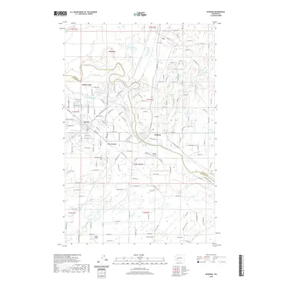
2020 Map of McKenna
USGS Topo · Published 2020About this map
Yelm sits at the heart of this landscape, surrounded by the open spaces of Yelm Prairie and Smith Prairie. The Nisqually River winds through the northern and eastern portions of the map, defining the boundary between Thurston and Pierce counties. This survey shows the complex network of water management and transport, including the Centralia Canal and the historic route of the Northern Pacific Rd SE, reflecting the area's long-standing connection to regional timber and rail economies.
Find a feature on this map
98 named features on this map. Tap any name to fly to it.
Don’t see what you’re looking for? This feature index may not catch every label — zoom into the map to look around manually.
Map Details
Editions of this 2020 McKenna Map
This is the sole edition of this map. No revisions or reprints were ever made.
Other maps of this area

1897 · Tacoma
USGS Topo · 1:125,000

1900 · Tacoma
USGS Topo · 1:125,000

1916 · Chehalis
USGS Topo · 1:125,000

1937 · Eatonville
USGS Topo · 1:125,000

1940 · Anderson Island
USGS Topo · 1:62,500

1941 · Tanwax Lake
USGS Topo · 1:62,500

1941 · Tacoma South
USGS Topo · 1:62,500

1944 · Tacoma South
USGS Topo · 1:62,500

1944 · Yelm
USGS Topo · 1:62,500

1944 · Ohop Valley
USGS Topo · 1:62,500