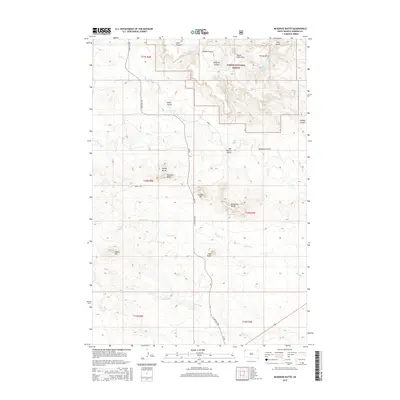
2015 Map of McKenzie Butte
USGS Topo · Published 2015About this map
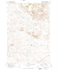
Custer National Forest encompasses the high country of the South Cave Hills in this portion of Harding County. The landscape is defined by isolated buttes and complex drainage systems, where landmarks like McKenzie Butte, Sheep Mtn, and Van Offern Butte rise above the surrounding plains. Water remains a critical element of this arid terrain, evidenced by several named water sources such as McKenzie Spring, Johnson Spring, and the numbered John Brown Spring Number One and John Brown Spring Number Two. The network of canyons including Timber Canyon and Peterson Canyon directs seasonal flow into creeks like Boxelder Cr and Sheep Cr. This map reveals a sparsely populated ranching and timber environment, where local navigation relies on routes like S Cave Hills Rd and the presence of family-named features like Penttila Butte and Juhala Hill.
Find a feature on this map
37 named features on this map. Tap any name to fly to it.
Don’t see what you’re looking for? This feature index may not catch every label — zoom into the map to look around manually.
Map Details
Editions of this 2015 McKenzie Butte Map
This is the sole edition of this map. No revisions or reprints were ever made.
Other maps of this area
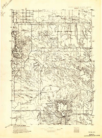
1935 · Reva
USGS Topo · 1:125,000
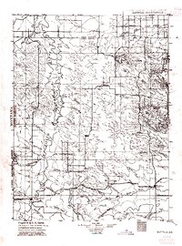
1935 · Buffalo
USGS Topo · 1:125,000

1954 · Lemmon
USGS Topo · 1:250,000

1957 · Lemmon
USGS Topo · 1:250,000
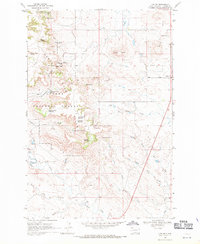
1968 · Ludlow
USGS Topo · 1:24,000
1969 · Ladner
USGS Topo · 1:24,000
1969 · Ladner SE
USGS Topo · 1:24,000
1971 · Buffalo
USGS Topo · 1:24,000
1971 · Lahti Butte
USGS Topo · 1:24,000
1971 · McKenzie Butte
USGS Topo · 1:24,000