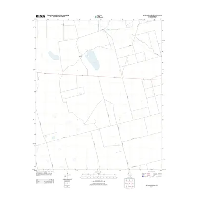
2012 Map of McKenzie Lake
USGS Topo · Published 2012About this map
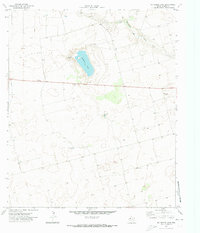
McKenzie Lake and the nearby Balch Springs define the water resources of this arid stretch of Gaines County. This landscape is characterized by a grid of rural county roads and large-scale agricultural or ranching tracts, punctuated by landmarks like the Twin Windmills. The sparse settlement pattern is typical of the High Plains, where water features and specialized equipment dictate the location of activity. A network of routes including Co Rd-104, Co Rd-102, and Co Rd-441 provides the primary infrastructure for the area, connecting isolated points of interest across the flat terrain. This map serves as a detailed record of the semi-arid West Texas topography before any significant shifts in land use or modern industrial expansion.
Find a feature on this map
18 named features on this map. Tap any name to fly to it.
Don’t see what you’re looking for? This feature index may not catch every label — zoom into the map to look around manually.
Map Details
Editions of this 2012 McKenzie Lake Map
This is the sole edition of this map. No revisions or reprints were ever made.
Other maps of this area

1954 · Hobbs
USGS Topo · 1:250,000

1958 · Hobbs
USGS Topo · 1:250,000
1969 · Welch SW
USGS Topo · 1:24,000
1970 · Cedar Point Ranch
USGS Topo · 1:24,000
1970 · Patricia SW
USGS Topo · 1:24,000
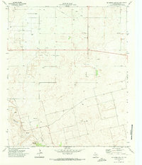
1970 · McKenzie Lake NW
USGS Topo · 1:24,000
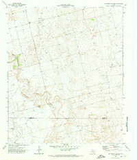
1970 · McKenzie Lake SE
USGS Topo · 1:24,000
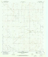
1970 · Loop SW
USGS Topo · 1:24,000
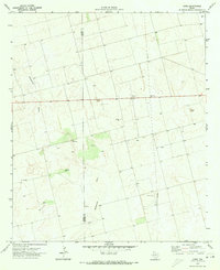
1970 · Sand
USGS Topo · 1:24,000
1970 · McKenzie Lake
USGS Topo · 1:24,000