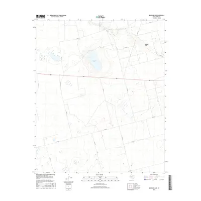
2016 Map of McKenzie Lake
USGS Topo · Published 2016About this map
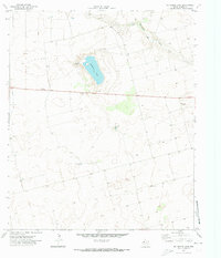
McKenzie Lake sits at the center of this 2016 Gaines County landscape, a seasonal water body that characterizes the semi-arid High Plains of West Texas. The terrain is defined by low-relief drainage systems like McKenzie Draw and the localized Balch Springs in the northern reaches. This 21st-century survey illustrates a sparse but structured rural grid of county roads, such as Co Rd 104 and Co Rd 416, which provide access to this remote agricultural and ranching territory. The map is particularly useful for identifying the specific intersections and drainage patterns that define property boundaries in an area where natural landmarks are few. Numerous small, unnamed depressions and wetlands are scattered across the quadrangle, reflecting the complex hydrology of the Llano Estacado region.
Find a feature on this map
19 named features on this map. Tap any name to fly to it.
Don’t see what you’re looking for? This feature index may not catch every label — zoom into the map to look around manually.
Map Details
Editions of this 2016 McKenzie Lake Map
This is the sole edition of this map. No revisions or reprints were ever made.
Other maps of this area

1954 · Hobbs
USGS Topo · 1:250,000

1958 · Hobbs
USGS Topo · 1:250,000
1969 · Welch SW
USGS Topo · 1:24,000
1970 · Cedar Point Ranch
USGS Topo · 1:24,000
1970 · Patricia SW
USGS Topo · 1:24,000
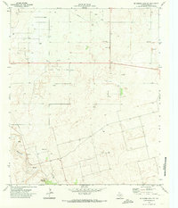
1970 · McKenzie Lake NW
USGS Topo · 1:24,000
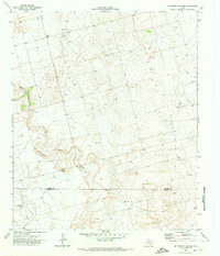
1970 · McKenzie Lake SE
USGS Topo · 1:24,000
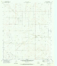
1970 · Loop SW
USGS Topo · 1:24,000
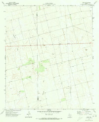
1970 · Sand
USGS Topo · 1:24,000
1970 · McKenzie Lake
USGS Topo · 1:24,000