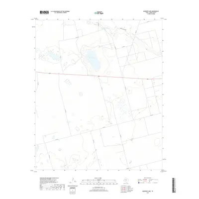
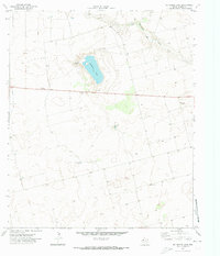
2019 Map of McKenzie Lake
USGS Topo · Published 2019About this map
McKenzie Lake sits as the central geographic feature of this West Texas landscape in Gaines County. The map details a semi-arid region characterized by ephemeral water sources and a structured grid of rural infrastructure. In the northern reaches, Balch Springs and the winding course of McKenzie Draw indicate the historical importance of water access in this high plains environment. The terrain is largely defined by a systematic network of section roads, such as Co Rd 104 and Co Rd 102, which facilitate movement across the agricultural and ranching parcels. This 2019 survey documents the modern layout of these rural corridors, illustrating how the late 20th and early 21st-century development has adhered to the traditional township and range divisions typical of the Llano Estacado region.
Find a feature on this map
18 named features on this map. Tap any name to fly to it.
Don’t see what you’re looking for? This feature index may not catch every label — zoom into the map to look around manually.
Map Details
Editions of this 2019 McKenzie Lake Map
This is the sole edition of this map. No revisions or reprints were ever made.
Other maps of this area

1954 · Hobbs
USGS Topo · 1:250,000

1958 · Hobbs
USGS Topo · 1:250,000
1969 · Welch SW
USGS Topo · 1:24,000
1970 · Cedar Point Ranch
USGS Topo · 1:24,000
1970 · Patricia SW
USGS Topo · 1:24,000
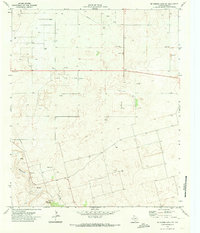
1970 · McKenzie Lake NW
USGS Topo · 1:24,000
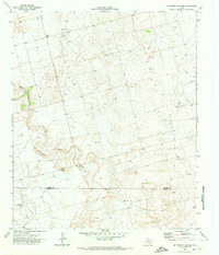
1970 · McKenzie Lake SE
USGS Topo · 1:24,000
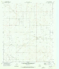
1970 · Loop SW
USGS Topo · 1:24,000
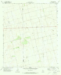
1970 · Sand
USGS Topo · 1:24,000
1970 · McKenzie Lake
USGS Topo · 1:24,000