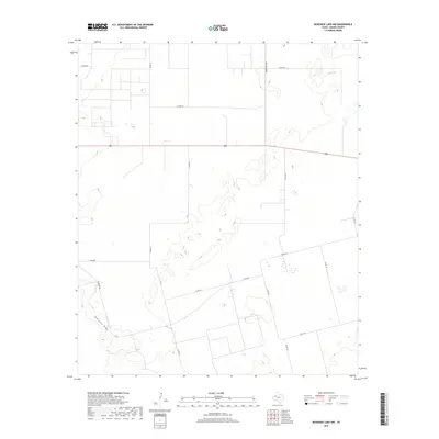
2019 Map of McKenzie Lake NW
USGS Topo · Published 2019About this map
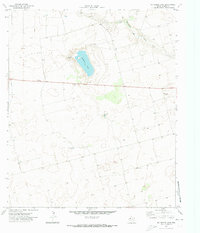
Seminole Draw carves a distinct path through this section of Gaines County, serving as the primary natural drainage feature in an otherwise high-plains landscape. The area is defined by a rigorous grid of rural thoroughfares, such as Co Rd 104 and Co Rd 102, which indicate the systematic organization of land for ranching and agricultural use in the Llano Estacado region. The intersection of local travel and regional transit is anchored by Highway 180 and Ranch Rd 303, which cut across the terrain to connect distant settlements. Small topographic depressions and isolated wetlands are scattered across the quadrangle, illustrating the playa lake patterns typical of West Texas. This 2019 survey provides a precise look at the modern rural infrastructure, showing the extent of contemporary county roads like Fairview Rd and Co Rd 416 as they serve the remote parcels of the Texas Panhandle.
Find a feature on this map
16 named features on this map. Tap any name to fly to it.
Don’t see what you’re looking for? This feature index may not catch every label — zoom into the map to look around manually.
Map Details
Editions of this 2019 McKenzie Lake NW Map
This is the sole edition of this map. No revisions or reprints were ever made.
Other maps of this area

1954 · Hobbs
USGS Topo · 1:250,000

1958 · Hobbs
USGS Topo · 1:250,000
1970 · Seminole NE
USGS Topo · 1:24,000
1970 · Cedar Point Ranch
USGS Topo · 1:24,000
1970 · Seagraves SE
USGS Topo · 1:24,000
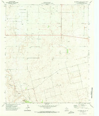
1970 · McKenzie Lake NW
USGS Topo · 1:24,000
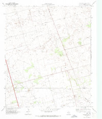
1970 · Seminole SE
USGS Topo · 1:24,000
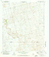
1970 · McKenzie Lake SE
USGS Topo · 1:24,000
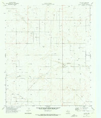
1970 · Loop SW
USGS Topo · 1:24,000
1970 · McKenzie Lake
USGS Topo · 1:24,000