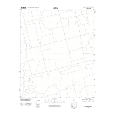
2010 Map of McKenzie Lake SE
USGS Topo · Published 2010About this map
Glasco Oil Field serves as a primary industrial landmark in this corner of Gaines County, reflecting the region's enduring connection to energy extraction. The landscape is defined by a rigorous grid of county roads, including Co Rd 431 and Co Rd 433, which partition the West Texas plains into expansive agricultural or petroleum-lease blocks. This network of thoroughfares, joined by smaller routes like Walley Ln, facilitates the movement of resources across the flat terrain. The spatial organization shown here is characteristic of the High Plains, where the infrastructure of the oil industry and rural transportation routes dictate the human footprint on the land.
Find a feature on this map
9 named features on this map. Tap any name to fly to it.
Don’t see what you’re looking for? This feature index may not catch every label — zoom into the map to look around manually.
Map Details
Editions of this 2010 McKenzie Lake SE Map
This is the sole edition of this map. No revisions or reprints were ever made.
Other maps of this area

1954 · Hobbs
USGS Topo · 1:250,000

1958 · Hobbs
USGS Topo · 1:250,000

1966 · Scharbauer Ranch
USGS Topo · 1:24,000

1970 · Cedar Point Ranch
USGS Topo · 1:24,000

1970 · Patricia SW
USGS Topo · 1:24,000

1970 · McKenzie Lake NW
USGS Topo · 1:24,000

1970 · McKenzie Lake SE
USGS Topo · 1:24,000

1970 · Sand
USGS Topo · 1:24,000

1970 · McKenzie Lake
USGS Topo · 1:24,000

1971 · Five Wells Ranch NW
USGS Topo · 1:24,000