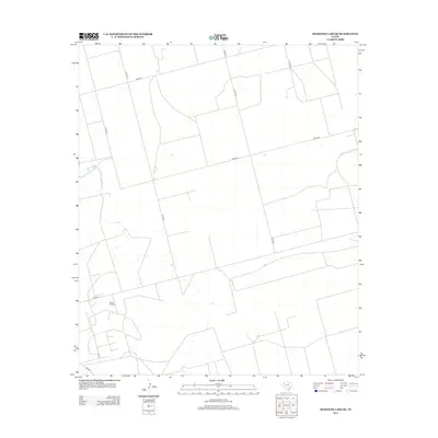
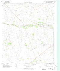
2012 Map of McKenzie Lake SE
USGS Topo · Published 2012About this map
Glasco Oil Field anchors the southern portion of this landscape in Gaines County, representing the deep-rooted energy industry of the Texas Panhandle. The terrain is organized by a geometric network of county roads, including Co Rd 428 and Co Rd 433, which divide the High Plains into large agricultural and industrial blocks. This 2012 survey illustrates a sparsely populated region where the infrastructure is primarily dedicated to resource extraction and transportation. To the west, Co Rd 431 skirts minor water features and depressions, while the interior is crisscrossed by specialized routes like Ne 6010 and Ne 9101, likely serving as access points for local operations. The map provides a clear look at how human activity is etched into the landscape through the precise alignment of roads and oil production sites.
Find a feature on this map
11 named features on this map. Tap any name to fly to it.
Don’t see what you’re looking for? This feature index may not catch every label — zoom into the map to look around manually.
Map Details
Editions of this 2012 McKenzie Lake SE Map
This is the sole edition of this map. No revisions or reprints were ever made.
Other maps of this area

1954 · Hobbs
USGS Topo · 1:250,000

1958 · Hobbs
USGS Topo · 1:250,000
1966 · Scharbauer Ranch
USGS Topo · 1:24,000
1970 · Cedar Point Ranch
USGS Topo · 1:24,000
1970 · Patricia SW
USGS Topo · 1:24,000
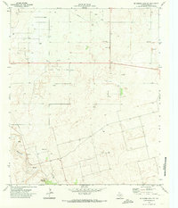
1970 · McKenzie Lake NW
USGS Topo · 1:24,000
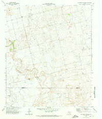
1970 · McKenzie Lake SE
USGS Topo · 1:24,000
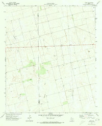
1970 · Sand
USGS Topo · 1:24,000
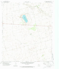
1970 · McKenzie Lake
USGS Topo · 1:24,000
1971 · Five Wells Ranch NW
USGS Topo · 1:24,000