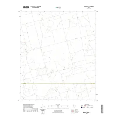
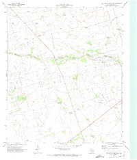
2019 Map of McKenzie Lake SE
USGS Topo · Published 2019About this map
Seminole Draw carves a path through this West Texas landscape, defining the local drainage patterns in a region where water and topography are closely linked. The area is marked by the administrative division of Gaines Co and Andrews Co, showing how the land was partitioned between these two counties.
Find a feature on this map
12 named features on this map. Tap any name to fly to it.
Don’t see what you’re looking for? This feature index may not catch every label — zoom into the map to look around manually.
Map Details
Editions of this 2019 McKenzie Lake SE Map
This is the sole edition of this map. No revisions or reprints were ever made.
Other maps of this area

1954 · Hobbs
USGS Topo · 1:250,000

1958 · Hobbs
USGS Topo · 1:250,000
1966 · Scharbauer Ranch
USGS Topo · 1:24,000
1970 · Cedar Point Ranch
USGS Topo · 1:24,000
1970 · Patricia SW
USGS Topo · 1:24,000
1970 · McKenzie Lake NW
USGS Topo · 1:24,000
1970 · McKenzie Lake SE
USGS Topo · 1:24,000
1970 · Sand
USGS Topo · 1:24,000
1970 · McKenzie Lake
USGS Topo · 1:24,000
1971 · Five Wells Ranch NW
USGS Topo · 1:24,000