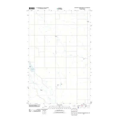
2011 Map of McKinnsey Reservoir East
USGS Topo · Published 2011About this map
Sage Creek and Little Sage Creek meander through this section of the northern Montana plains, shaping a landscape defined by deep erosional features such as Miranda Coulee and Ninemile Coulee. This 2011 survey by the U.S. Geological Survey reveals a high-plains environment where water management is central to the land's utility, anchored by the McKinnsey Reservoir and smaller structures like Capricorn Dam and Libra Dam.
Find a feature on this map
11 named features on this map. Tap any name to fly to it.
Don’t see what you’re looking for? This feature index may not catch every label — zoom into the map to look around manually.
Map Details
Editions of this 2011 McKinnsey Reservoir East Map
This is the sole edition of this map. No revisions or reprints were ever made.
Other maps of this area
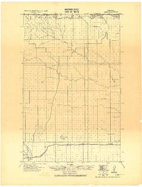
1919 · Alma
USGS Topo · 1:125,000
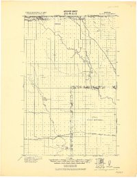
1920 · Gildford
USGS Topo · 1:125,000
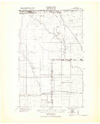
1943 · Gildford
USGS Topo · 1:125,000
1954 · Shelby
USGS Topo · 1:250,000
1958 · Shelby
USGS Topo · 1:250,000
1969 · Gildford NE
USGS Topo · 1:24,000
1969 · Gildford NW
USGS Topo · 1:24,000
1972 · Lost River NE
USGS Topo · 1:24,000
1972 · Mc Kinnsey Reservoir East
USGS Topo · 1:24,000
1972 · Mc Kinnsey Reservoir West
USGS Topo · 1:24,000