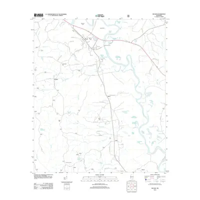
2012 Map of McLain
USGS Topo · Published 2012About this map
Leaf River oxbows and swampy bottomlands dominate this Greene County landscape, where the water has carved a complex network of named ponds and cut-off lakes. The community of McLain serves as the primary hub, situated near Dunnam Field and the McLain Cem. Smaller settlements like Leaf, Royce, and Progress are connected by a web of local roads such as Old Federay Rd and McLeod Loop, reflecting the rural distribution of family homesteads and timber operations.
Find a feature on this map
88 named features on this map. Tap any name to fly to it.
Don’t see what you’re looking for? This feature index may not catch every label — zoom into the map to look around manually.
Map Details
Editions of this 2012 McLain Map
This is the sole edition of this map. No revisions or reprints were ever made.
Other maps of this area

1941 · Lucedale
USGS Topo · 1:62,500

1943 · Lucedale
USGS Topo · 1:62,500

1947 · Beaumont
USGS Topo · 1:62,500

1947 · Benndale
USGS Topo · 1:62,500

1949 · Beaumont
USGS Topo · 1:62,500

1949 · Benndale
USGS Topo · 1:62,500

1953 · Hattiesburg
USGS Topo · 1:250,000

1953 · Mobile
USGS Topo · 1:250,000

1957 · Mobile
USGS Topo · 1:250,000

1958 · Hattiesburg
USGS Topo · 1:250,000