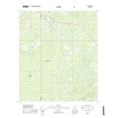
2018 Map of McLain
USGS Topo · Published 2018About this map
The Leaf River carves a winding path through the center of this terrain, defining a landscape of oxbow lakes and bottomlands such as Daughdrill Dead Lake and Hillman Dead River. Situated at the intersection of the Perry Co and Greene Co line, the town of McLain serves as a primary settlement point, supported by an aviation link at Dunnam Field. The surrounding territory is heavily integrated with the De Soto National Forest, where small communities like Leaf and Royce are connected by a network of rural routes including Old Federal RD. Local history and genealogy are anchored by several family and community burial sites, including Mclain Cem, Mount Nebo Cem, and Merritt Cem. The presence of Mta Camp Shelby in the western portion indicates the area's role in military training operations within the national forest boundaries.
Find a feature on this map
86 named features on this map. Tap any name to fly to it.
Don’t see what you’re looking for? This feature index may not catch every label — zoom into the map to look around manually.
Map Details
Editions of this 2018 McLain Map
This is the sole edition of this map. No revisions or reprints were ever made.
Other maps of this area
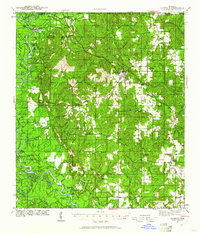
1941 · Lucedale
USGS Topo · 1:62,500
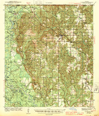
1943 · Lucedale
USGS Topo · 1:62,500
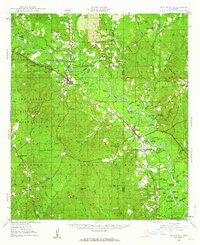
1947 · Beaumont
USGS Topo · 1:62,500
1947 · Benndale
USGS Topo · 1:62,500
1949 · Beaumont
USGS Topo · 1:62,500
1949 · Benndale
USGS Topo · 1:62,500
1953 · Hattiesburg
USGS Topo · 1:250,000
1953 · Mobile
USGS Topo · 1:250,000
1957 · Mobile
USGS Topo · 1:250,000
1958 · Hattiesburg
USGS Topo · 1:250,000