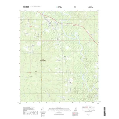
2021 Map of McLain
USGS Topo · Published 2021About this map
The Leaf River winds through this corner of southeast Mississippi, defining a landscape of oxbow lakes and wetlands such as Horseshoe Lake, Daughdrill Dead Lake, and Swan Lake. Near the settlement of McLain, the river's influence is evident in features like Hog Island and Hillman Dead River. Much of the western territory is managed as part of the De Soto National Forest, which also houses a portion of the MTA Camp Shelby military installation.
Find a feature on this map
96 named features on this map. Tap any name to fly to it.
Don’t see what you’re looking for? This feature index may not catch every label — zoom into the map to look around manually.
Map Details
Editions of this 2021 McLain Map
This is the sole edition of this map. No revisions or reprints were ever made.
Other maps of this area

1941 · Lucedale
USGS Topo · 1:62,500

1943 · Lucedale
USGS Topo · 1:62,500

1947 · Beaumont
USGS Topo · 1:62,500

1947 · Benndale
USGS Topo · 1:62,500

1949 · Beaumont
USGS Topo · 1:62,500

1949 · Benndale
USGS Topo · 1:62,500

1953 · Hattiesburg
USGS Topo · 1:250,000

1953 · Mobile
USGS Topo · 1:250,000

1957 · Mobile
USGS Topo · 1:250,000

1958 · Hattiesburg
USGS Topo · 1:250,000