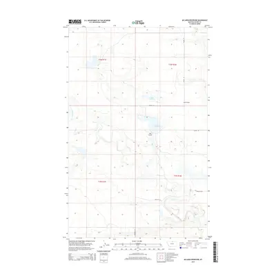
2014 Map of McLaren Reservoir
USGS Topo · Published 2014About this map
McLaren Reservoir and Holm Reservoir are the primary focal points of this arid northern Montana landscape, situated near the Canadian border. The terrain is defined by the winding course of Lodge Creek and its seasonal tributaries, which carve distinct geological features like Hay Coulee and Link Coulee through the prairie. This 2014 survey documents a sparsely populated ranching region where movement is dictated by a network of rural routes, including Elloam Rd and Lonesome Rd. The intricate topography of the northern Great Plains is evident in the drainage patterns of Battle Cr as it flows through the northeastern corner of the map. This area remains primarily dedicated to water management and livestock, with the vast township and range system providing the only formal structure across the open ground.
Find a feature on this map
16 named features on this map. Tap any name to fly to it.
Don’t see what you’re looking for? This feature index may not catch every label — zoom into the map to look around manually.
Map Details
Editions of this 2014 McLaren Reservoir Map
This is the sole edition of this map. No revisions or reprints were ever made.
Other maps of this area
1904 · Yantic
USGS Topo · 1:62,500
1904 · Havre
USGS Topo · 1:62,500
1912 · Zurich
USGS Topo · 1:125,000
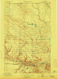
1912 · Thibedeau Lake
USGS Topo · 1:125,000

1953 · Havre
USGS Topo · 1:250,000

1957 · Havre
USGS Topo · 1:250,000

1958 · Havre
USGS Topo · 1:250,000
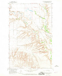
1964 · Telescope Coulee
USGS Topo · 1:24,000
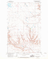
1964 · Reservoir Coulee
USGS Topo · 1:24,000
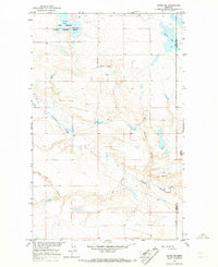
1964 · Havre NE
USGS Topo · 1:24,000