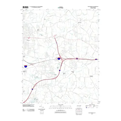
2010 Map of McLeansville
USGS Topo · Published 2010About this map
McLeansville serves as the primary hub of this eastern Guilford County landscape, situated at the intersection of a developing suburban and rural network. The area is defined by the waterways that drain toward the Haw River basin, most notably South Buffalo Creek and North Buffalo Creek. Historical industry and land use are evident in the placement of Stewarts Mill and Troxlers Mill along Little Alamance Creek, illustrating how local topography dictated the early economic patterns of the region.
Find a feature on this map
87 named features on this map. Tap any name to fly to it.
Don’t see what you’re looking for? This feature index may not catch every label — zoom into the map to look around manually.
Map Details
Editions of this 2010 McLeansville Map
This is the sole edition of this map. No revisions or reprints were ever made.
Other maps of this area

1951 · Lake Brandt
USGS Topo · 1:24,000

1951 · Browns Summit
USGS Topo · 1:24,000

1951 · Greensboro
USGS Topo · 1:24,000

1952 · Mc Leansville
USGS Topo · 1:24,000

1953 · Raleigh
USGS Topo · 1:250,000

1953 · Greensboro
USGS Topo · 1:250,000

1954 · Greensboro
USGS Topo · 1:250,000

1954 · Raleigh
USGS Topo · 1:250,000

1962 · Greensboro
USGS Topo · 1:250,000

1966 · Greensboro
USGS Topo · 1:250,000